
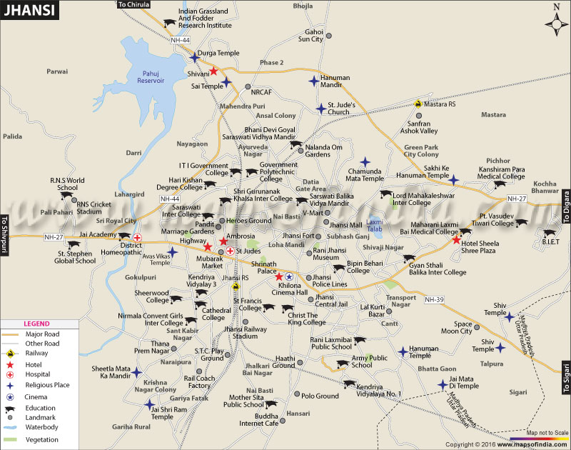
| Jhansi city Map showing roads, hotels, hospitals and other places of interest. |
| Disclaimer: All efforts have been made to make this image accurate. However Mapping Digiworld Pvt Ltd and its directors do not own any responsibility for the correctness or authenticity of the same. |
We all have heard about India's struggle for freedom and independence and the leading lady of this struggle - Rani Lakshmi Bai (popularly known as 'Jhansi ki Rani'). Rani Lakshmi Bai, the leading figure of the Revolt of 1857, was the queen of Jhansi. It would not be wrong to say that Jhansi is popular because of Rani Lakshmi Bai. The city is located in south of Uttar Pradesh and is situated between the Betwa and Pahunj Rivers. Geographically, it is located at 25° 26' N / 78° 34' E. It has an average altitude of 284 m. The district of Jhansi has five sub-divisions and eight blocks. It has two parliamentary and five legislative assembly constituencies. As per Census 2011, the district of Jhansi covers an area of 5024 sq km and a population of about 19 lakh.
Once the capital of the princely state of the Marathas, Jhansi is now a historical significant city of India. Thus, it houses many tourist attractions such as Jhansi Fort, Rani Mahal, Government Museum, Laxmi Bai Park and Barua Sagar and Fort apart from Laxmi Temple. The Jhansi Fort was built in the 17th century by Raja Bir Singh Deo.
It lies on the plateau of Central India and its area is dominated by the rocky relief and minerals underneath the soil. As it is located on a rocky plateau, it experiences extreme temperatures. The land of Jhansi is suitable for citrus fruits and crops such as wheat, peas, oilseeds and pulses. There are many hill patches of granite and concrete stones.
There are a large number of micro and small enterprises in Jhansi. There are also many large scale industries or public sector undertakings in the city and its neighbouring areas, such as Bharat Heavy Electricals Limited, Shree Baidyanath Ayurved Bhawan Limited, Bharat Petroleum Corporation and Diamond Cement Limited to name a few. There are few potential areas in service industry in the city. Some of such industries are repairing and maintenance of automobile and machineries, computer hardware and software industry, repairing of electrical home appliances and many more.
The city also offers educational facilities to students. The public university in Jhansi is Bundelkhand University, which was founded in 1975. The university offers professional, technical and vocational studies and provides research facilities. There are many colleges in Jhansi that are affiliated to the university. Recently, the foundation stone for Rani Lakshmi Bai Central Agricultural University was laid in Jhansi, where initially two colleges would be established there. There are also medical, science and engineering colleges in the city along with few ITIs and polytechnics.
Jhansi is easily reachable through roadways, railways and airways. The Jhansi junction is a division of the North Central Railways. Jhansi is directly connected through trains to many major cities of the country like Delhi, Mumbai, Kolkata, Bangalore, Chennai, Trivandrum, Lucknow, Gorakhpur and many more. It is located at the junction of the National Highways: NH-12 A, NH-25, NH-26, Nh-75 and Nh-76. The city holds a strategic position in roadway networks as highways in five different directions pass through it. Gwalior Airport is the nearest airport to Jhansi, which is about 100 km away from the city. There is also a military aviation base, Jhansi Airport, which was built during the British rule.
WBST210315
WBVDA