
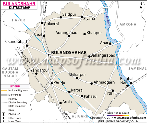
| *The Map showing the National Highway, Major roads, other Roads, District Headquarter, Town, etc in the Bulandshahr District, Uttar Pradesh |
| Disclaimer: All efforts have been made to make this image accurate. However Mapping Digiworld Pvt Ltd and its directors do not own any responsibility for the correctness or authenticity of the same. |
Bulandshahar District is situated in the Meerut region of Uttar Pradesh. Its global location is between 28.4° and 28.0° north latitudes and between 77.0?and 78.0? east longitudes.
The geographical area of the Bulandshahar District is 4,353 sq. km. This district is near to Delhi and is in national capital region.
The district of Bulandshahar is an important grain producing agricultural district. Potato, wheat, maize and sugar are cultivated here in large quantity. Along with the green revolution, the district is also a part of the white revolution in the form of milk production. Potteries of Khurja, a town in Bulandshahar, have earned good name everywhere in the world.
The nuclear atomic power plant is located at Narora town of the Bulandshahar District.
Bulandshahar beckons tourists from everywhere as it bears testimony to many of the historical places. These are Karnavas, Ahar, Belon, Anoopshahar, Rajghat and Valipura.
| Facts of Bulandshahar District | |
|---|---|
| State | Uttar Pradesh |
| District | Bulandshahar |
| District HQ | Bulandshahr |
| Population (2011) | 3499171 |
| Growth | 20.12% |
| Sex Ratio | 896 |
| Literacy | 68.88 |
| Area (km2) | 3719 |
| Density (/km2) | 788 |
| Tehsils | Anupshahr, Bulandshahr, Debai, Khurja, Shikarpur, Siana, Sikandrabad |
| Lok Sabha Constituencies | Bulandshahr |
| Assembly Constituencies | Anupshahr, Bulandshahar, Debai, Khurja, Shikarpur, Sikandrabad, Syana |
| Languages | Hindi, Urdu |
| Rivers | --- |
| Lat-Long | 28.408313,77.849021 |
| Travel Destinations | Karnavas, Belon, Ahar, Chola, Kala Aam Chauraha, Bhuteshwar Mandir etc. |
| Government Colleges/Universities | --- |