
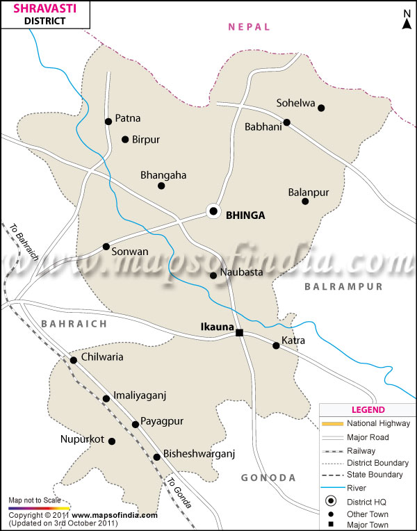
| *The Map showing the National Highway, Major roads, other Roads, District Headquarter, Town, etc in the Shravasti District, Uttar Pradesh |
| Disclaimer: All efforts have been made to make this image accurate. However Mapping Digiworld Pvt Ltd and its directors do not own any responsibility for the correctness or authenticity of the same. |
district of Shravasti comprises of a total area of 1126 km.
Population of Shrawasti District in 2011 is 1114615.
The district has a substantial portion of its area as dense forest which has flora and fauna of various kinds. The forests of the district has Sal, Sheesham, Mahua and many other important varieties of trees .The district earns its revenue primarily from the forest products.
| Facts of Shrawasti District | |
|---|---|
| State | Uttar Pradesh |
| District | Shrawasti |
| District HQ | Shravasti |
| Population (2011) | 1117361 |
| Growth | -5.02% |
| Sex Ratio | 881 |
| Literacy | 46.74 |
| Area (km2) | 1948 |
| Density (/km2) | 572 |
| Tehsils | Bhinga, Ikauna |
| Lok Sabha Constituencies | Shravasti |
| Assembly Constituencies | Bhinga, Shrawasti |
| Languages | Hindi, Awadhi |
| Rivers | Rapti |
| Lat-Long | 27.610539,81.9627 |
| Travel Destinations | Maha Mangole Temple, Maha Veera Temple, Maheth, Saheth, Shakti Peeth, Gandha Kuti, Jetavana Monastery etc. |
| Government Colleges/Universities | Mahamaya Government Degree College etc. |