
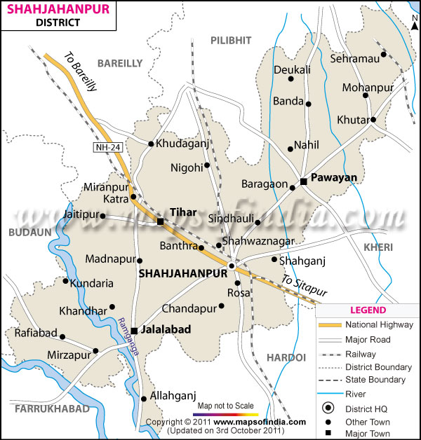
| *The Map showing the National Highway, Major roads, other Roads, District Headquarter, Town, etc in the Shahjahanpur District, Uttar Pradesh |
| Disclaimer: All efforts have been made to make this image accurate. However Mapping Digiworld Pvt Ltd and its directors do not own any responsibility for the correctness or authenticity of the same. |
district of Shahjahanpur encompasses a total area of 4575 sq. km and lies in the south eastern part of Rohilkhand division.
Population of Shahjahanpur District in 2011 is 30,02,376
The main occupation of the people of Shahjahanpur is agriculture. The farmers of the district grow wheat, gram, millet and potato. The district also has few well known industries like the Shriram Group, Durga Industry, Oswal Group and many others.
Shahjahanpur has some tourist spots like the house of Thakur Roshan Singh, Ramprasad Bismil, Asfaq Ulla's house and Mazar, Shahid Udhyam Park and Mumuksh Ashram.
| Facts of Shahjahanpur District | |
|---|---|
| State | Uttar Pradesh |
| District | Shahjahanpur |
| District HQ | Shahjahanpur |
| Population (2011) | 3006538 |
| Growth | 18.00% |
| Sex Ratio | 872 |
| Literacy | 59.54 |
| Area (km2) | 4575 |
| Density (/km2) | 673 |
| Tehsils | Jalalabad, Powayan, Shahjahanpur, Tilhar |
| Lok Sabha Constituencies | Shahjahanpur |
| Assembly Constituencies | Dadraul, Jalalabad, Katra, Powayan, Shahjahanpur, Tilhar |
| Languages | Hindi, Urdu |
| Rivers | Garra, Khannaut, Ramganga |
| Lat-Long | 27.839076,79.836845 |
| Travel Destinations | Hanumat Dham, Kalibadi Temple, Shyam Baba Temple, Alakhnath Temple, Tulasi Math, Patnadevkali Kali Temple, Kali Temple etc. |
| Government Colleges/Universities | Prem Kishan Khanna Govt. College, G.F. College, S.S. College, Arya Mahila Degree College, Jado Bahadur Memorial Degree College, Deen Dayal Upadhyay Government Degree College, Ganna Kishan Degree College, Shri Dharamjeet Singh College etc. |