| Facts of Sambhal (Bheem Nagar) District |
| State |
Uttar Pradesh |
| District |
Sambhal (Bheem Nagar) |
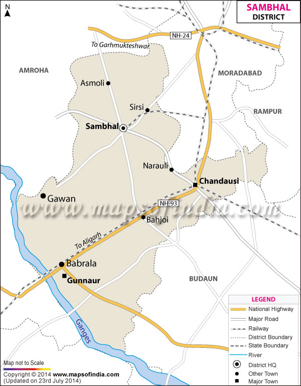
| District HQ |
Sambhal |
| Population (2011) |
* |
| Growth |
* |
| Sex Ratio |
* |
| Literacy |
* |
| Area (km2) |
* |
| Density (/km2) |
* |
| Tehsils |
Sambhal, Chandausi, Gunnaur |
| Lok Sabha Constituencies |
Sambhal |
| Assembly Constituencies |
Asmoli, Bilari, Chandausi, Gunnaur, Sambhal |
| Languages |
Hindi, Urdu |
| Rivers |
--- |
| Lat-Long |
28.591154,78.572745 |
| Travel Destinations |
Kalki Mandir, Suraj Kund Mandir, Manokamna Mandir, Gauri Shaya Mandir, Chemnath Teerth, Singhpur Teerth etc. |
| Government Colleges/Universities |
Rajkiye Degree College, M. G. M. Degree College, Govt. Mahavidiyalaya etc. |