
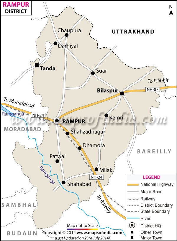
| *The Map showing the National Highway, Major roads, other Roads, District Headquarter, Town, etc in Rampur District, Uttar Pradesh |
| Disclaimer: All efforts have been made to make this image accurate. However Mapping Digiworld Pvt Ltd and its directors do not own any responsibility for the correctness or authenticity of the same. |
Rampur is a district located in Uttar Pradesh. In the medieval age Rampur was under the rulers of Delhi. It was once famous for fine arts and music. At present it covers an area of 2,367sq.km. It had a population of 23,35,398 in 2011.
The main industries of Rampur are wine making, sugar processing, weaving textiles and manufacturing agricultural implements. This district is well connected by airways, rail and road. The nearest airport is located in Lucknow.
The Rampur Raza Library is a worth visiting place. It has a great collection of Oriental manuscripts and beautiful Mughal miniature paintings.
| Facts of Rampur District | |
|---|---|
| State | Uttar Pradesh |
| District | Rampur |
| District HQ | Rampur |
| Population (2011) | 2335819 |
| Growth | 21.42% |
| Sex Ratio | 909 |
| Literacy | 53.34 |
| Area (km2) | 2367 |
| Density (/km2) | 987 |
| Tehsils | Bilaspur, Milak, Rampur, Shahabad, Suar, Tanda |
| Lok Sabha Constituencies | Rampur |
| Assembly Constituencies | Bilaspur, Chamraua, Milak, Rampur, Suar |
| Languages | Hindi, Urdu |
| Rivers | --- |
| Lat-Long | 28.87835,79.122734 |
| Travel Destinations | Jama Masjid, Raza Library, Rampur Planetarium, Gandhi Samadhi, Kothi Khas Bagh, Ambedkar Park etc. |
| Government Colleges/Universities | Govt. Raza Degree College, Government Polytechnic, Govt Girls Pg College etc. |