
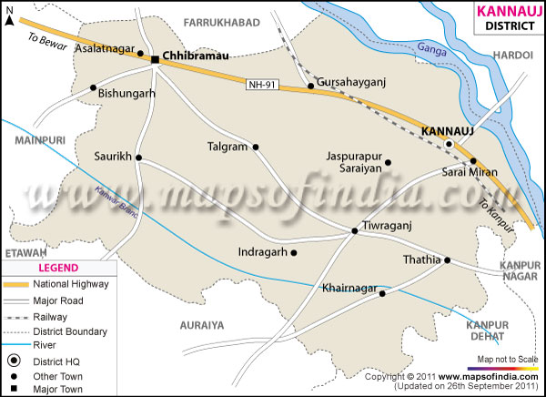
| *The Map showing the National Highway, Major roads, other Roads, District Headquarter, Town, etc in the Kannauj District, Uttar Pradesh |
| Disclaimer: All efforts have been made to make this image accurate. However Mapping Digiworld Pvt Ltd and its directors do not own any responsibility for the correctness or authenticity of the same. |
Kannauj district is a part of the state of Uttar Pradesh. The total area of the district is 2,129.2sq.km.
Kannauj has a total population of 16,58,005 as recorded in the 2011 census.
On the agricultural front, the main crops which are cultivated are potato, tilhan, sugar cane and some important food grains.
Kannauj has much of historical importance attached to it. Some places having tourism value are the Archeology Museum, Lakh Bahosi Bird Sanctuary, Gauri Shankar Temple and Annapurna Temple.
| Facts of Kannauj District | |
|---|---|
| State | Uttar Pradesh |
| District | Kannauj |
| District HQ | Kannauj |
| Population (2011) | 1656616 |
| Growth | 19.27% |
| Sex Ratio | 879 |
| Literacy | 72.7 |
| Area (km2) | 1993 |
| Density (/km2) | 792 |
| Tehsils | Chhibramau, Kannauj, Tirwa |
| Lok Sabha Constituencies | Kannauj |
| Assembly Constituencies | Chhibramau, Kannauj, Tirwa |
| Languages | Hindi, Urdu, Kanauji |
| Rivers | --- |
| Lat-Long | 27.052094,79.914157 |
| Travel Destinations | Lakh Bahosi Sanctuary, Government Archaeological Museum, Siddheswar Temple etc. |
| Government Colleges/Universities | Bau Singh Mahavidhyalya, Ch. Manesh Colege For Women Education, Ch. Mohar Singh Mahavidlay, Dr. Bhim Rao Ambedkar Ajkiya Medical Colege, Gautam Budh Balika Degre Colege, Gautam Budh Degre Colege, Govt. Degre Colege, V. .K. Degre Colege, Swami Girshanand Egre Colege, Sri Mukund Sanskrit Mahavidyaly, P. S.M. Degre Colege, Neharu Degre Colege etc. |