
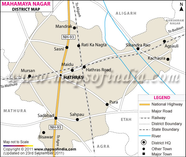
| *The Map showing the National Highway, Major roads, other Roads, District Headquarter, Town, etc in the Mahamaya Nagar District, Uttar Pradesh |
| Disclaimer: All efforts have been made to make this image accurate. However Mapping Digiworld Pvt Ltd and its directors do not own any responsibility for the correctness or authenticity of the same. |
Mahamaya Nagar (Hathras) is a district in the state of Uttar Pradesh, India. The district stretches over an area of 1,800.1 sq. km.
The total population of the district is 15,65,678 according to the 2011 census.
The major crops which are cultivated in the district are jowar, bajra, pulses and potato.
The people of Mahamaya Nagar (Hathras) are also engaged in various industries like that of chemicals, readymade garments, carpet and brass.
The tourist spots in Mahamaya Nagar (Hathras) are Mahakali Temple and Mandir Shri Dauji Maharaj.
| Facts of Hathras (Mahamaya Nagar) District | |
|---|---|
| State | Uttar Pradesh |
| District | Hathras (Mahamaya Nagar) |
| District HQ | Hathras |
| Population (2011) | 1564708 |
| Growth | 17.12% |
| Sex Ratio | 871 |
| Literacy | 71.59 |
| Area (km2) | 1752 |
| Density (/km2) | 851 |
| Tehsils | Hathras, Sadabad, Sasni, Sikandra Rao |
| Lok Sabha Constituencies | Hathras |
| Assembly Constituencies | Hathras, Sadabad, Sikandra Rao |
| Languages | Hindi, Urdu |
| Rivers | --- |
| Lat-Long | 27.498527,78.018608 |
| Travel Destinations | Hathras Fort, Dauji Maharaj Temple, Bhadra Kali Temple, Bagharya Temple, Teerathdham Mangalayatan etc. |
| Government Colleges/Universities | Saraswati Degree College, Ss Memorial Degree College etc. |