
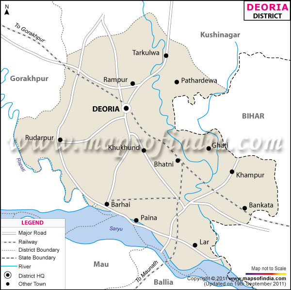
| *The Map showing the National Highway, Major roads, other Roads, District Headquarter, Town, etc in the Deoria District, Uttar Pradesh |
| Disclaimer: All efforts have been made to make this image accurate. However Mapping Digiworld Pvt Ltd and its directors do not own any responsibility for the correctness or authenticity of the same. |
Deoria is situated in the south-eastern part of Uttar Pradesh. This district is located between 26° and 28° north latitudes and 83 ° and 85 °east longitudes. The total area of Deoria District is 2,527 sq. km.
According to the1991 census the total population of Deoria is 22,04,872.
Agriculture is the most important business for the people in Deoria. Rabi and Kharif crops are predominantly grown here. The main crops, which are cultivated in Deoria, are wheat, rice, maize, arhar, gram and sugar cane.
Deoria has a number of temples which attract tourists as well as local people. Some of these are Somnath Mandir, Deorahi Mandir, Dugdheswarnath Mandir and Parshuram Dham.
| Facts of Deoria District | |
|---|---|
| State | Uttar Pradesh |
| District | Deoria |
| District HQ | Deoria |
| Population (2011) | 3100946 |
| Growth | 14.31% |
| Sex Ratio | 1017 |
| Literacy | 71.13 |
| Area (km2) | 2535 |
| Density (/km2) | 1220 |
| Tehsils | Barhaj, Bhatpar Rani, Deoria, Rudrapur, Salempur |
| Lok Sabha Constituencies | Deoria |
| Assembly Constituencies | Barhaj, Bhatpur Rani, Deoria, Pathardeva, Rampur Karkhana, Rudrapur, Salempur |
| Languages | Hindi, Deoria include Bhojpuri |
| Rivers | Ghaghara |
| Lat-Long | 26.428769,83.800564 |
| Travel Destinations | Ramlilala Maidan, Hanuman Mandir, Somnath Mandir, Deorahi Mandir, Dugdheswarnath Mandir, Dirgheswar Mandir, Parshuram Dham etc. |
| Government Colleges/Universities | S.S.Wilayt Husain Degree College, Baba Raaghav Das Pg College, Pg College (Aashram Barhaj Deoria), Sant Vinova Pg College, Mahila Post Graduate College, Mahara Agrasen College Of Commerce etc. |