
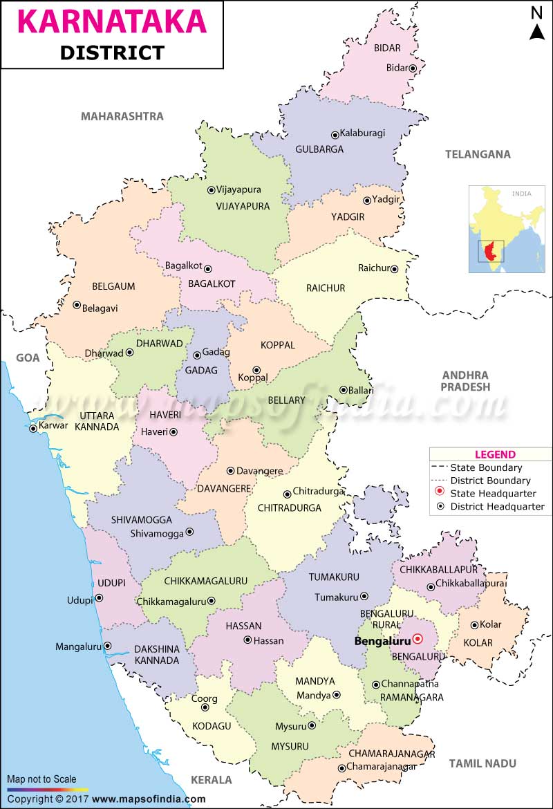
| *Map showing all the districts of Karnataka with boundaries. |
| Disclaimer: All efforts have been made to make this image accurate. However Mapping Digiworld Pvt Ltd and its directors do not own any responsibility for the correctness or authenticity of the same. |
Karnataka, one of India's southern states has historically been known for being home to some of the most powerful dynasties and empires of ancient and medieval India.
The state has also been known for contributing significantly to the social-religious movement. Writers in the Kannada language have received the most number of Jnanpith Awards in India. Bangalore, (renamed as Bengaluru), the capital city of Karnataka is known as the Silicon Valley of India, due to it being the hub of the IT industry in the country. Karnataka has a population of 61,130,704 (2011 census) and the state is spread over an area of 191,791 km sq
Districts and Administration in Karnataka: For revenue and administration purposes, Karnataka has further been divided into 30 districts, 4 revenue divisions, 49 sub-divisions, 175 taluks and 745 revenue circles. The administration in each district is headed by a Deputy Commissioner, who belongs to the Indian Administrative Service; he/she also gets assistance from officers from the Karnataka State Services. The Deputy Commissioner of Police, an official from the Indian Police Service, is responsible for the law and order of the district. An officer from the Indian Forest Service also tales part in the running of the state. Sectoral development in each district is headed by the Public Works Department, health, education, agriculture, animal husbandry etc.
Tourism in Karnataka: Karnataka has various tourist spots, which include beautifully sculpted ancient temples, forests and beaches. Karnataka has many national parks, including the Bandipur National Park, Bannerghatta National Park and the Nagarhole National Park. The beautiful Western Ghats are home to places like Madikeri and Agumbe, famous for their scenic beauty. The ruins of the Vijayanagara Empire at Hampi are a UNESCO World Heritage Site. The Gol Gumbaz is an excellent example of the Deccan Sultanate style of architecture. Karnataka is home to the Jog Falls, India's tallest single-tiered waterfall. Recently, Karnataka has become a popular destination for health care tourism and hospitals in Karnataka receive around 8000 health care tourists every year.
| S No. | District | Headquarters | Population (Census 2011) | Sex Ratio (per 1000) | Average Literacy |
|---|---|---|---|---|---|
| 1 | Bagalkot | Bagalkot | 1,889,752 | 989 | 68.82% |
| 2 | Bangalore | Bangalore | 9,621,551 | 916 | 87.67% |
| 3 | Bangalore Rural | Bangalore | 990,923 | 946 | 77.93% |
| 4 | Belgaum | Belgaum | 4,779,661 | 973 | 73.48% |
| 5 | Bellary | Bellary | 2,452,595 | 983 | 67.43% |
| 6 | Bidar | Bidar | 1,703,300 | 956 | 70.51% |
| 7 | Bijapur | Bijapur | 2,177,331 | 960 | 67.15% |
| 8 | Chamarajanagar | Chamarajanagar | 1,020,791 | 993 | 61.43% |
| 9 | Chikkaballapura | Chikkaballapura | 1,255,104 | 972 | 69.76% |
| 10 | Chikmagalur | Chikmagalur | 1,137,961 | 1008 | 79.25% |
| 11 | Chitradurga | Chitradurga | 1,659,456 | 974 | 73.71% |
| 12 | Dakshina Kannada | Mangalore | 2,089,649 | 1020 | 88.57% |
| 13 | Davanagere | Davangere | 1,945,497 | 972 | 75.74% |
| 14 | Dharwad | Dharwad | 1,847,023 | 971 | 80% |
| 15 | Gadag | Gadag-Betageri | 1,064,570 | 982 | 75.12% |
| 16 | Gulbarga | Gulbarga | 2,566,326 | 971 | 64.85% |
| 17 | Hassan | Hassan | 1,776,421 | 1010 | 76.07% |
| 18 | Haveri | Haveri | 1,597,668 | 950 | 77.4% |
| 19 | Kodagu | Madikeri | 554,519 | 1019 | 82.61% |
| 20 | Kolar | Kolar | 1,536,401 | 979 | 74.39% |
| 21 | Koppal | Koppal | 1,389,920 | 986 | 68.09% |
| 22 | Mandya | Mandya | 1,805,769 | 995 | 70.4% |
| 23 | Mysore | Mysore | 3,001,127 | 985 | 72.79% |
| 24 | Raichur | Raichur | 1,928,812 | 1000 | 59.56% |
| 25 | Ramanagara | Ramanagara | 1,082,636 | 976 | 69.22% |
| 26 | Shimoga | Shimoga | 1,752,753 | 998 | 80.45% |
| 27 | Tumkur | Tumkur | 2,678,980 | 984 | 75.14% |
| 28 | Udupi | Udupi | 1,177,361 | 1094 | 86.24% |
| 29 | Uttara Kannada | Karwar | 1,437,169 | 979 | 84.06% |
| 30 | Yadgir | Yadgir | 1,174,271 | 989 | 51.83% |