| Disclaimer: All efforts have been made to make this image accurate. However Mapping Digiworld Pvt Ltd and its directors do not own any responsibility for the correctness or authenticity of the same. |
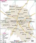
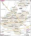
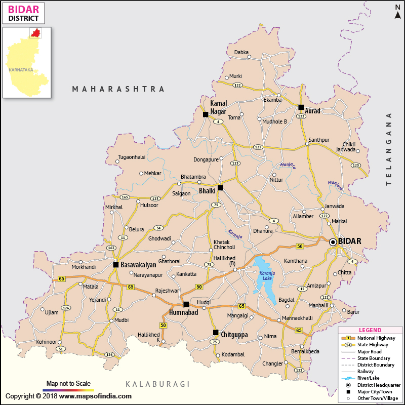
Spread over an expanse of 5,448 sq. km, Bidar District of Karnataka spans from 17° 35' to 18°25' North latitude and from 76° 42' to 77° 39' East longitude. Strategically sited in the heart of the Deccan Plateau, Bidar District is enclosed by Andhra Pradesh in the East, Maharashtra in the west and Gulbarga of Karnataka in the South.
With a populace of 12,55,799, Bidar District's economy is primarily dependent upon agriculture. Jowar is the principal crop grown along with paddy, grams, pulses, sugarcane, etc.
Bidar with its picturesque landscape and epigraphic edifices is a cultural mosaic. Tourists are attracted by the: