
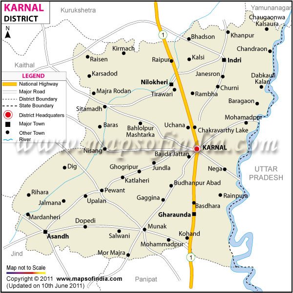
| *Karnal District map showing National highways, district headquarter, roads, towns, etc. |
| Disclaimer: All efforts have been made to make this image accurate. However Mapping Digiworld Pvt Ltd and its directors do not own any responsibility for the correctness or authenticity of the same. |
Karnal is one of the historical districts of Haryana. The district is located between 29° 09'50" and 29° 50' north latitudes and between 76° 31'15" and 77° 12'45" east longitudes. The district's headquarter is at the Karnal city. Divided into two subdivisions, the district has an area of 1,967 square kilometers and a population of 8,85,000.
Karnal is famous for its shoe making industry, agricultural research institutions and its finest agricultural product, Basmati rice.
Karnal district has rich historical connections making it a tourists' paradise. Kalander Shah's tomb and the Karna Tal are two of the many tourist attractions.
| Facts of Karnal District | |
|---|---|
| State | Haryana |
| District | Karnal |
| District HQ | Karnal |
| Population (2011) | 1505324 |
| Growth | 18.14% |
| Sex Ratio | 887 |
| Literacy | 74.73 |
| Area (km2) | 2799 |
| Density (/km2) | 467 |
| Tehsils | Assandh, Gharaunda, Indri, Karnal, Nilokheri |
| Lok Sabha Constituencies | Karnal |
| Assembly Constituencies | Nilokheri (SC), Indri, Karnal, Gharaunda, Assandh |
| Languages | Hindi, Punjabi, Haryanvi |
| Rivers | Yamuna |
| Lat-Long | 29.781066,76.925869 |
| Travel Destinations | Kalander Shah's Tomb, Devi Temple, Cantonment Church Tower, Bhara Mal's Sarai, Old Fort, Miran Sahib's Tomb, Gurdwara Manji Sahib, Dargah Nuri, The Karna Tank, Sita Mai Temple, Gondar, Bahlolpur, Shamgarh, Assandh etc. |
| Government Colleges/Universities | Govt. College for Women, Govt. College (Assandh), Govt.Collge (Gharaunda), Pt. Chiranji Lal Sharma, Govt. P.G. College (Karnal), S.U.S. Govt. College (Matak Majri) etc. |