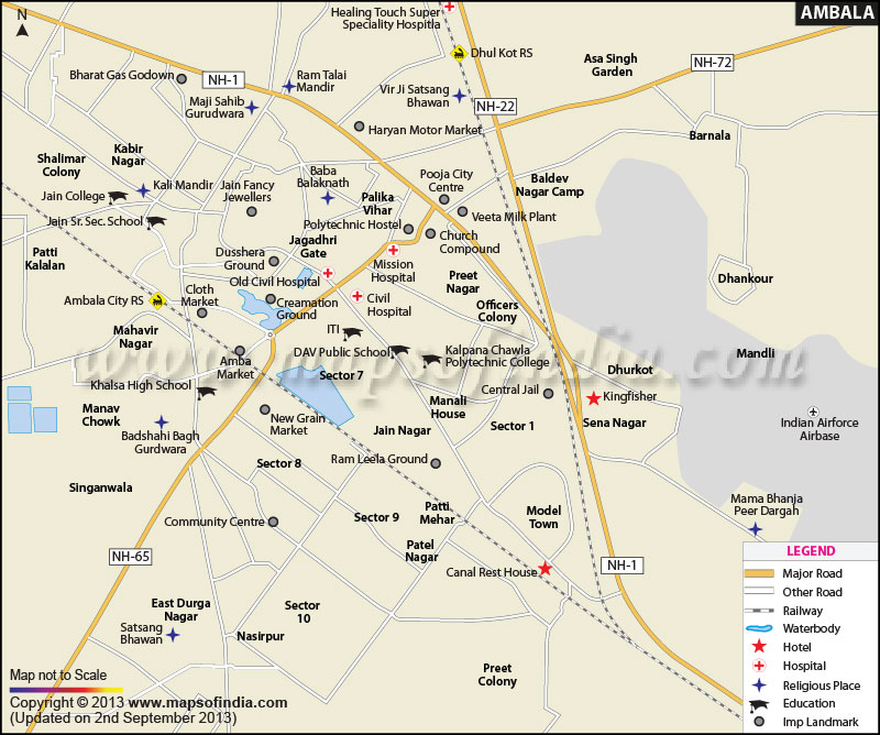
| Ambala City Information |
| Country |
India |
| State |
Haryana |
| District |
Ambala |
| Established Year |
14th century AD |
| Founded by |
Amba Rajput,Bhawani Amba (Goddess) |
| Area |
1,568.85 km2 (605.74 sq mi) as Census January 2011 |
| Population |
1136784 as Census January 2011 |
| Population Density |
720/km2 (1,900/sq mi) as Census January 2011 |
| Language |
Punjabi, Hindi, English |
| Official Languages |
Hindi, English |
| Literacy Rate |
87.34% as Census January 2011 |
| Sex Ratio |
869/1000 |
| Time zone |
IST (UTC+5:30) |
| Pin code |
133004 |
| Area code |
171 |
| Lat Long |
30.3800° N, 76.7800° E |
| Religion |
Hinduism, Islam, Sikh |
| Festivals |
Chetar Caudas Mela, Gugga Naumi (Aug-Sep), Masani Fair, Teej (July- Aug), |
| University |
Ambala College of Engineering & Applied Research (Est. 2002), Guru Nanak Institute of technology, hema majra(Mullana) |
| Sports |
Ambala Lawn Tennis Academy, Kharga Golf Club |
| Airport |
Nearest Domestic Airport - Chandigarh Airport - Chandigarh, India (IXC / VICG), Nearest International Airport- Indira Gandhi International Airport - Delhi, India (DEL / VIDP) |
| Railway Station |
Ambala Cantt [UMB] (Junction on Delhi-Amritsar-Meerut-Kalka lines), Ambala City [UBC] (On Ambala -Amritsar/Jammu line), |
| Tourist Attractions |
Planetarium, Air Force Base, Rani Ka Talab, Anandpur Sahib, Gurudwara Manji Sahib, Ambika Devi Mandir |
| Nearby Tourist Attractions |
Chandigarh, Kasauli, Shimla, Dehradun, Kufri, Haridwar, Rishikesh |
| Popular Things |
Grand Pacific Retreat, Hotel Amar Palace, Ambala Sweet Centre |
| Notable People |
Sushma Swaraj, Parineeti Chopra, Om Puri, Surinder Punia |
| National Highway |
National Highway 22 (Ambala-Khab) |