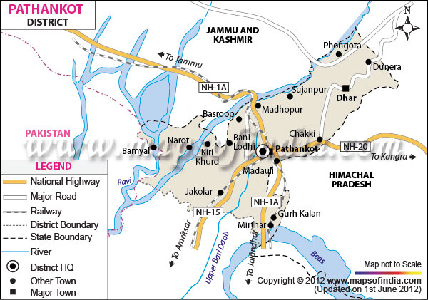
| Facts of Pathankot District |
| State |
Punjab |
| District |
Pathankot |
| District HQ |
Pathankot |
| Population (2011) |
* |
| Growth |
* |
| Sex Ratio |
* |
| Literacy |
* |
| Area (km2) |
* |
| Density (/km2) |
* |
| Tehsils |
Dhar Kalan, Pathankot |
| Lok Sabha Constituencies |
Gurdaspur |
| Assembly Constituencies |
Sujanpur, Bhoa, Pathankot |
| Languages |
Punjabi, English, Hindi |
| Rivers |
Beas, Ravi, Chakki |
| Lat-Long |
32.324276,75.59063 |
| Travel Destinations |
Pracheen Kali Mata Mandir, Ranjit Sagar Dam, Nurpur Fort, Shiva Temple, Shapurkandi Fort, Nagni Temple, Shani Dev Mandir, Mukteshwar Temple, Pathankot Druva Park, Ranjit Sagar Dam etc. |
| Government Colleges/Universities |
AB College, Tawi College, Pathankot Polytechnic College, Anant Gurukul Memorial College, Sri Sai College of Engg. & Tech., M. G. N. College etc. |