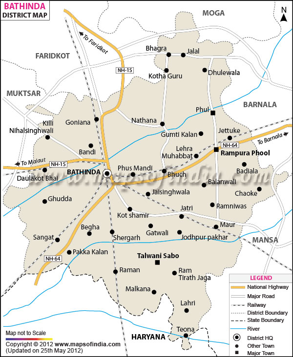
| Facts of Bathinda District |
| State |
Punjab |
| District |
Bathinda |
| District HQ |
Bathinda |
| Population (2011) |
1388525 |
| Growth |
0.00% |
| Sex Ratio |
868 |
| Literacy |
68.28 |
| Area (km2) |
3355 |
| Density (/km2) |
414 |
| Tehsils |
Bathinda, Rampura Phul, Talwandi Sabo |
| Lok Sabha Constituencies |
Bathinda, Faridkot |
| Assembly Constituencies |
Rampura Phul, Bhucho Mandi (SC), Bathinda Urban, Bathinda Rural (SC), Talwandi Sabo, Maur |
| Languages |
Punjabi, Hindi |
| Rivers |
----- |
| Lat-Long |
30.149877,75.057793 |
| Travel Destinations |
Damdama Sahib, Maisar Khana mandir, Zoological Park, Qila Mubarak, Rose Garden etc. |
| Government Colleges/Universities |
Central University of Punjab, Govt. Polytechnic College, Guru Gobind Singh Polytechnic College, Govt. Rajindra College etc. |