
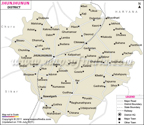
| *The Map showing National Highway, Major Roads, District Head Quarter etc in the district of Jhunjhunun Rajasthan. |
| Disclaimer: All efforts have been made to make this image accurate. However Mapping Digiworld Pvt Ltd and its directors do not own any responsibility for the correctness or authenticity of the same. |
Jhunjhunu is district in the state of Rajasthan in India. Also known as the Jhunjhunu district, it is located in the north eastern part of the state.
The headquarters of the district is located in the town of Jhunjhunu. Jhunjhunu is a well known trading hub and is home to plenty of industries.
Jhunjhunu district is spread over an area of 5928 sq km. It is located in the Shekhawati region and is bordered by the districts of Sikar and Churu. The state of Haryana surrounds it on the east and the north east.
The climate of Jhunjhunu district in Rajasthan is mainly dry. The summer months are hot while the winter months are cool. The ideal time to travel to Jhunjhunu is between the months of November and February. The weather during this part of the year is pleasant.
There are a number of tourist attractions in Jhunjhunu district. The region is rich in history and consists of plenty of historical buildings and monuments. Travelers can opt for various sightseeing trips to these tourist attractions. Some popular places to see in the district are:
Staying at Jhunjhunu district is not a problem as there are plenty of hotels and lodging centers in the region. These hotels offer pleasant accommodation at reasonable rates. The local markets are ideal places for buying wide range of beautiful handicrafts and local artifacts.
Reaching Jhunjhunu district is easy and convenient. The nearest airport is located in the capital city ofJaipur. After landing at the airport, travelers can easily come to Jhunjhunu by rail or road. Train services also link the district with places such as Delhi,Mumbai, Ahmedabad and other important cities of India. Buses are available to places like Udaipur, Agra, Jaisalmer and other cities of Haryana and Punjab.
| Facts of Jhunjhunun District | |
|---|---|
| State | Rajasthan |
| District | Jhunjhunun |
| District HQ | Jhunjhunu |
| Population (2011) | 2,137,045 |
| Growth | 11.67% |
| Sex Ratio | 950 |
| Literacy | 74.13 |
| Area (km2) | 5928 |
| Density (/km2) | 361 |
| Tehsils | Buhana, Chirawa, Jhunjhunun, Khetri, Nawalgarh, Udaipurwati |
| Lok Sabha Constituencies | Jhunjhunu |
| Assembly Constituencies | Jhunjhunu, Khetri, Mandawa, Nawalgarh, Pilani, Surajgarh, Udaipurwati |
| Languages | Hindi, Rajasthani including Shekhawati |
| Rivers | ----- |
| Lat-Long | 28.096212,75.524712 |
| Travel Destinations | Shri Lal ahadur Mal Haveli, Tejpal Jhunjhunuwala Haveli, Ramjas Jhunjhunuwala Haveli, Lakhaka Haveli, Mahali Dutt.Khetan Haveli, Arjun Ram Khetan Haveli, Satya Narain Temple, Jiwan Ram Marodia Talab, Rungta Haveli, Miya Saheb Durgah, Raj ki Chhatri, Jai Narain Gopi Ram Tibrewal Haveli, Bissau Fort, Bajrang Lal sigatia Haveli, Rai Bahadur Suryamal Tulshan Haveli, Ramakrishna Mission, Dhosi Hill, Dundlod Fort, Shiv Bux Goenka Chhatri, Temple of Raimata, Gangisar Fort, Bihari Ji Temple, Badalgarh Fort, Laxmi Nath Temple, Samas Talab, Bhopal Garh FortRaghu Nath Ji Ka Bara Mandir, mahansar Fort, Bala kila fort, Banshidhar Bhagat Haveli, Gopi Nath Temple, Birla Haveli & Museum, Dokania Haveli etc. |
| Government Colleges/Universities | Govt. College, Govt. College, S.N.M.T. Government Girls College, S.R.R.M. Government College, S.V. Government College etc. |