
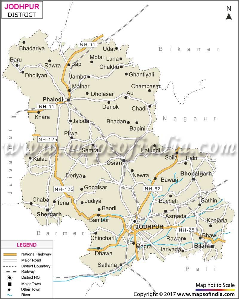
| *The Map showing National Highway, Major Roads, District Head Quarter etc in the district of Jodhpur Rajasthan. |
| Disclaimer: All efforts have been made to make this image accurate. However Mapping Digiworld Pvt Ltd and its directors do not own any responsibility for the correctness or authenticity of the same. |
Jodhpur is a major district in the state of Rajasthan in India. Formerly a princely state, Jodhpur is located in the Marwar region and is a well-known tourist destination and a major commercial zone.
Jodhpur is surrounded by the districts of Nagaur, Ajmer, Pali and Jaisalmer. The headquarter of the district is located in the city of Jodhpur. The city of Jodhpur was founded in the 15th century by the rulers of the Rathore Rajput dynasty. After independence, the district was annexed to the state of Rajasthan.
Being a popular tourist destination, there are plenty of tourist attractions in Jodhpur. The district is known for its scenic beauty and rich cultural heritage and tradition. The sightseeing trips are offered by the local tourist board and other travel agencies. Some popular places to opt for sightseeing trips in the district are:
There are various types of hotels in Jodhpur. They offer standard accommodation with a blend of luxury. There are luxury and heritage hotels, middle range hotels as well as economy and budget hotels. Most of the hotels are located at a close proximity to the main city center. Some of the renowned hotels in this district are:
Apart from these, there are research institutions too. Some of them are Arid Forest Research Institute, Central Arid Zone Research Institute, Desert Medicine Research Centre, Botanical Survey of India, Defence Research and Development Organisation and MBM Engineering College.
Like other parts of Rajasthan, the climate of Jodhpur is mainly dry. The summer months are hot while the winter months are cool. The ideal time to go on a trip to this beautiful district is between the months of October and March.
| Facts of Jodhpur District | |
|---|---|
| State | Rajasthan |
| District | Jodhpur |
| District HQ | Jodhpur |
| Population (2011) | 1,137,815 |
| Growth | 27.74% |
| Sex Ratio | 916 |
| Literacy | 65.94 |
| Area (km2) | 289.6 km2 |
| Density (/km2) | 3,900/km2 |
| Tehsils | Bhopalgarh, Bilara, Jodhpur, Luni, Osian, Phalodi, Shergarh |
| Lok Sabha Constituencies | Jodhpur, Pali |
| Assembly Constituencies | Bhopalgarh, Bilara, Jodhpur, Lohawat, Luni, Osian, Phalodi, Sardarpura, Shergarh, Soorsagar, Pokran |
| Languages | Hindi, Rajasthani including Marwari |
| Rivers | Luni, Mithri |
| Lat-Long | 26.68673,72.892685 |
| Travel Destinations | Mehrangarh Fort, Jaswant Thada, Umaid Bhawan Palace, Government Museum, Rai-ka-Bag Palace, Umed Garden, Raj Ranchhodji Temple, Achal Nath Shivalaya, Siddhnath Shiv temple, Ganesh Temple, Mandor, Balsammand Lake & Palace, Kaylana Lake, Guda Bishnoi, Jaswant Sagar Dam etc. |
| Government Colleges/Universities | Jai Narain Vyas University, Government College (Jodhpur) Govt. College (Balesar), Govt. College (Balesar), J.N.M.P. Government College, S.P.M. Government PG College, S.S.D.C.L.B. Government Girls College etc. |
| Achal Nath Shivalaya | Ganesh Temple | Jodhpur Fort |
| Government Museum | Jaswant Thada | Mehrangarh Fort |
| Rai ka Bag Palace | Raj Ranchhodji Temple | Siddhnath |
| Umaid Bhawan Palace | Umaid Garden |