
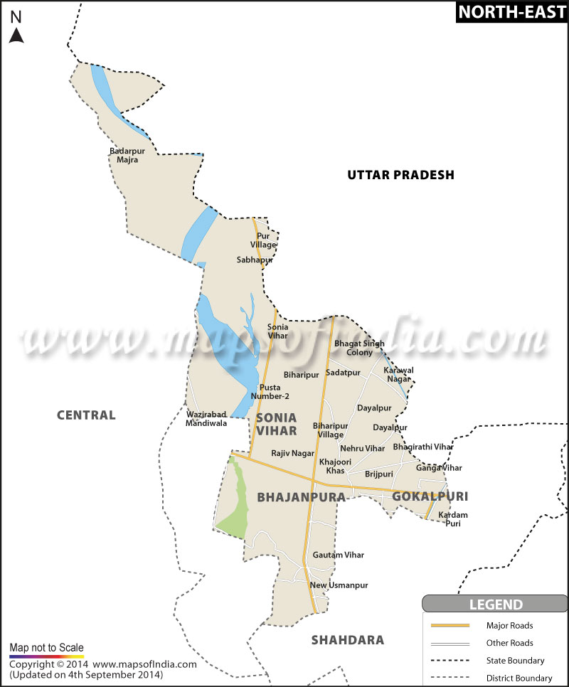
| *North East Delhi District Map showing major roads, district boundaries, rivers, towns and etc. |
| Disclaimer: All efforts have been made to make this image accurate. However Mapping Digiworld Pvt Ltd and its directors do not own any responsibility for the correctness or authenticity of the same. |
North East Delhi is the administrative district of the country. It is flanked by the Yamuna river on the west, East Delhi to the south, North Delhi to the west. The district of Gaziabad in Uttar Pradesh other stretches from north to the east. North East Delhi has a population of about 1,763,712 according to the census in 2001 and has a total surface area of 60 Kilometer square. The three important administrative subdivisions of North East Delhi are Seelampur, Seema Puri and Shahdara. Shahdara is divided into two zones of Municipal Council of Delhi, the main wards of which are the South and the North Shahdara.
Some of the important areas surrounding the region are Dilshad Garden , Dilshad Colony, Tahirpur, Preet Vihar, Yamuna Vihar and Bhajanpura. Shahdara is also divided in two parts Purana Shahdara (Old Shahdara) and Navin Shahdara (New Shahdara). Nathu Colony, Kanti Nagar Ghonda Colony, Jhilmil Colony, Rohtash Nagar. Some of the other regions flanking the proximity of Shahdara are Babarpur, Maujpur, Subhash Mohalla, Vishwas Nagar, Ashok Nagar, Krishna Nagar, Ram Nagar, Bhaula Nath Nagar and Gokulpur are some colonies in Shahdara.