
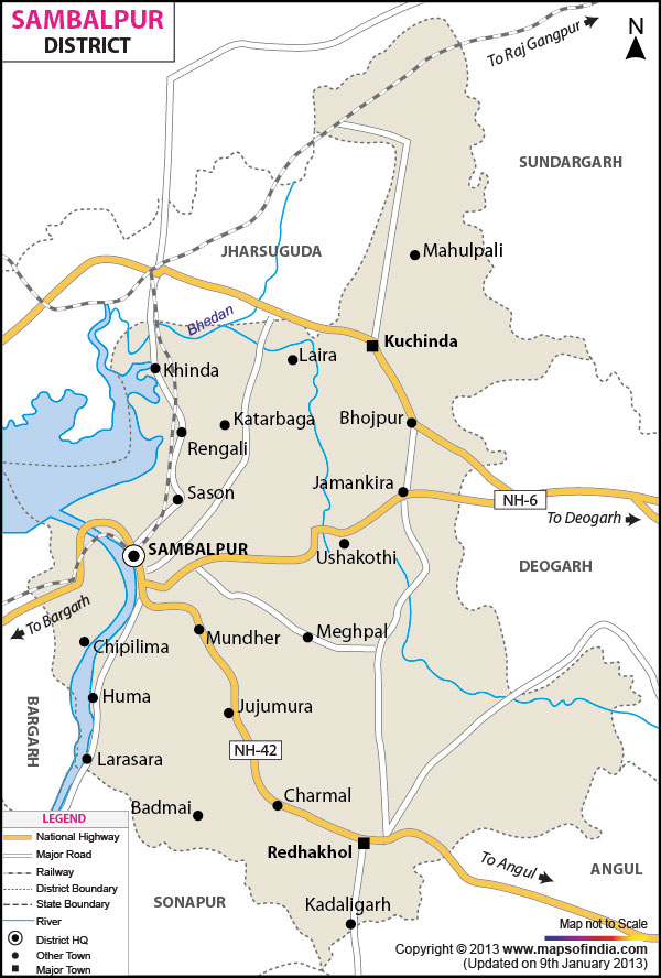
| * Sambalpur District Map highlights National Highways, Major Roads, District Headquarter, etc. |
| Disclaimer: All efforts have been made to make this image accurate. However Mapping Digiworld Pvt Ltd and its directors do not own any responsibility for the correctness or authenticity of the same. |
Sambalpur has a total area of 6,657 sq km.As per the 2001 census, the district has a total population of 9,35,613 and a sex ratio of 969 females for every 1000 males.
With an agro-climatic condition the district earns revenue from farming activities.
Hirakund Dam Project is one of the prominent developments in the agricultural sector of Sambalpur.
Hirakund Dam, Cattle Island, leaning temple of Lord shiva and Hatibari is considered as some of the major appeals of the district.
Sambalpur is a very important north western district of Orissa. Sambalpur district of Odisha has a geographical location of North latitude 20°40' to 22°11' and East Longitude 82°39' to 85°15'. Surrounded by the Bargarh, Jharsugdha, Deogarh, Sundergarh, Angul and Subarnapur districts, the Sambalpur area comprises of three physiographic types;
The district covers a total area of 6,702 sq. kilometers and has a population of 9,35,613. The average literacy rate of the Sambalpur district is 67.25%. About 35% of the total population consists of tribes like the Gonds, Binjhal, Khanda and Kuda.
The history of Sambalpur is enriched with the reigns of several famous dynasties like the Guptas, Sarbhapuriyas, Marathas and the Chauhans. The British occupied the region in the beginning of the 19th century. The area has witnessed many uprisings against the Europeans during the British rule.
Home to the longest dam in the World, the Sambalpur district has many exciting tourist spots like;