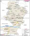
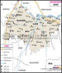
Chhattisgarh, one of India's newest states carved out of Madhya Pradesh, has a total area of 1,36,034 square kilometers, making it the ninth largest in the country. The state located between 21° 30' N and 82° E, is bounded by Uttar Pradesh and Jharkhand in the north, Madhya Pradesh and Maharashtra in the west, Orissa in the east, and Andhra Pradesh in the south.
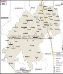
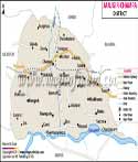
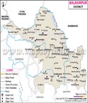
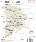
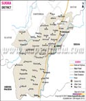
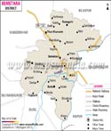
Chhattisgarh has eighteen districts. The northern and southern districts in the state lie in hilly areas, while the central districts lie in plains. The Mahanadi River and its tributaries flow through the central part of the state. Most of the central districts have areas under rice cultivation. Raipur is the capital of the state and the largest city. Some of the district headquarters and important towns are Bilaspur, Korba, Baikunthpur, Raigarh, and Durg.
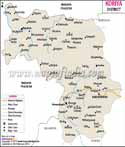
Northern Districts
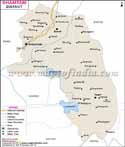
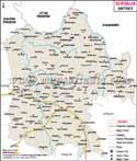
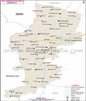
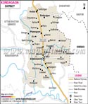
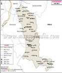
Three districts of Koriya, Jashpur and Surguja come under the Surguja division in the north. Most of the area is hilly and forested. Surguja district has bauxite deposits.
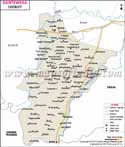
Central Districts
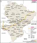
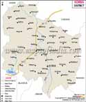
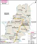
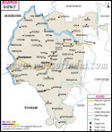
The central districts are the industrial hubs of the state. The districts of Durg, Kwardha, and Rajnandgaon come under Durg division. Raipur, Dhamtari, and Mahasamund come under Raipur Division. Bilaspur, Korba, Janjgir Champa, and Raigarh come under Bilaspur Division. These districts are the most populated in the state.
Bilaspur town in the district is the zonal headquarters of the South East Central railways and an important rail junction for the entire state. Durg, Rajnangaon, and Raipur are the other main railway junctions in the state. Raipur and Bilaspur towns are the only towns with airports.
Korba and Bilaspur towns have power plants and are electricity producing hubs of the state. Raipur, Korba, Raigarh and Bilaspur are big centers for steel industry in the country. Durg district is the home of the Bhilai Steel Plant.
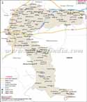
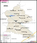
Southern Districts
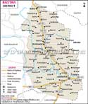
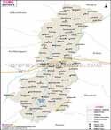
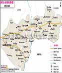
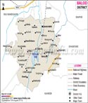
The southern districts Kanker, Narayanpur, Bastar, Bijapur and Dantewada lie in the Deccan Plateau. These are part of the Bastar division of the state and have a large tribal population. Most of the land in these districts is forested.