
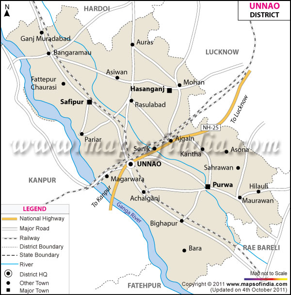
| *The Map showing the National Highway, Major roads, other Roads, District Headquarter, Town, etc in the Unnao District, Uttar Pradesh |
| Disclaimer: All efforts have been made to make this image accurate. However Mapping Digiworld Pvt Ltd and its directors do not own any responsibility for the correctness or authenticity of the same. |
Unnao is located in Uttar Pradesh. It has a population of 31,10,595.
The main industries in Unnao are tannary and leather goods.
Nawabganj is a tourist spot in Unnao. A bird sanctuary is situated here. Shrines of Sufi saints located here, are held in high esteem by both Hindus and Muslims. Sweetmeats of Unnao are also very popular among the tourists.
| Facts of Unnao District | |
|---|---|
| State | Uttar Pradesh |
| District | Unnao |
| District HQ | Unnao |
| Population (2011) | 3108367 |
| Growth | 15.11% |
| Sex Ratio | 907 |
| Literacy | 66.37 |
| Area (km2) | 4561 |
| Density (/km2) | 682 |
| Tehsils | Bighapur, Hasanganj, Purwa, Safipur, Unnao |
| Lok Sabha Constituencies | Unnao |
| Assembly Constituencies | Bangermau, Bhagwantnagar, Mohan, Purwa, Safipur, Unnao |
| Languages | Hindi including Awadhi |
| Rivers | --- |
| Lat-Long | 26.539394,80.488536 |
| Travel Destinations | Nawabganj Bird Santuary, Lingeshwar Mahadeo Temple, Tomb Of Muhabbat Shah, Balkaneshwar Nath Mahadeo Temple etc. |
| Government Colleges/Universities | St. Jude'S College, Ben-Hur Inter College, Sir Syed Inter College, J.N. Shah Memorial College, Government Inter College For Boys (Gic), Government Girls Inter College etc. |