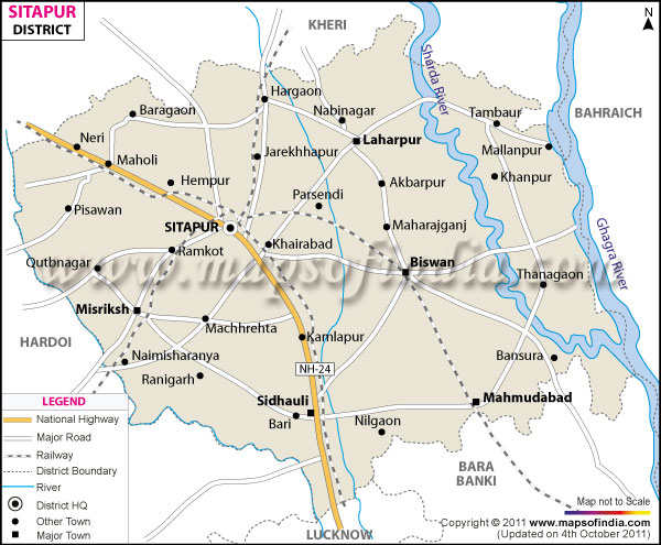
*The Map showing the National Highway, Major roads, other Roads, District Headquarter, Town, etc in the Sitapur District, Uttar Pradesh
Disclaimer: All efforts have been made to make this image accurate. However Mapping Digiworld Pvt Ltd and its directors do not own any responsibility for the correctness or authenticity of the same.
Sitapur is a district in Uttar Pradesh. It was founded by the legendary king Vikramaditya. At present it covers an area of 5,734 sq.km. It had a population of 44,74,446 in 2011. It is an agricultural district.
Some of the places of interest in Sitapur are Mahaveer Udayan, Sarojini Vatika and Vaidehi Vatika.
Namisharanya, Chakratirth, Lalita Devi Temple, Panch Prayag, Vyas Gaddi, Soot Gaddi, Sri Hanuman Garhi, Panch Pandav, Mishrit, Shyamnathan Temple, Suraj Kund Temple, Cheeta Pasi Ka Tila, Gandhi Park, Nehru Park, Ilasiya Bal Vanodyan etc.
Government Colleges/Universities
Pandit Deen Dayal U. Govt. P. G College, Govt. Fakerudeen Ali Ahemed Degree College, Acharya Narendra Dev T. T. College, Dayal Degree College, H. K. M. P. G. College, H. M. H. Digree College, Hajari Lal Degree College etc.