
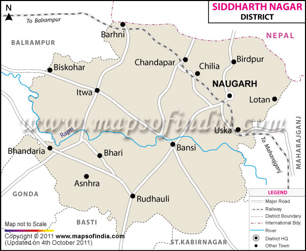
| The Map showing the National Highway, Major roads, other Roads, District Headquarter, Town, etc in the Sidharth Nagar District, Uttar Pradesh |
| Disclaimer: All efforts have been made to make this image accurate. However Mapping Digiworld Pvt Ltd and its directors do not own any responsibility for the correctness or authenticity of the same. |
The district of Siddarthnagar covers a total area of 2752 sq. km. Previously a part of the Basti district, Siddarth Nagar became a separate district on 1988.
Population of Siddharth Nagar District in 2011 is 2553526
The important tourist attraction of the district is ?Kapilavastu?. Siddarthnagar attracts thousands of tourists and pilgrims from all over the world.
| Facts of Siddharth Nagar District | |
|---|---|
| State | Uttar Pradesh |
| District | Siddharth Nagar |
| District HQ | Navgarh |
| Population (2011) | 2559297 |
| Growth | 25.45% |
| Sex Ratio | 976 |
| Literacy | 59.25 |
| Area (km2) | 2751 |
| Density (/km2) | 882 |
| Tehsils | Bansi, Domariyaganj, Itwa, Naugarh, Shohratgarh |
| Lok Sabha Constituencies | Domariyaganj |
| Assembly Constituencies | Bansi, Doomariyaganj, Itwa, Kapilvastu, Shohratgarh |
| Languages | Hindi, Urdu |
| Rivers | Rapti |
| Lat-Long | 27.283926,82.819633 |
| Travel Destinations | Kapilvastu, Bharat Bhari, Piprahava etc. |
| Government Colleges/Universities | Ratan Sen Degree College, Ratan Sen Inter College, Tilak Inter College, Government Girls Inter College etc. |