
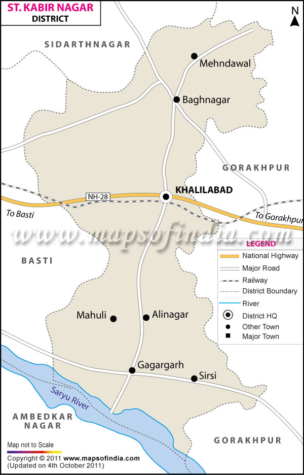
| *The Map showing the National Highway, Major roads, other Roads, District Headquarter, Town, etc in the Sant Kabir Nagar District, Uttar Pradesh |
| Disclaimer: All efforts have been made to make this image accurate. However Mapping Digiworld Pvt Ltd and its directors do not own any responsibility for the correctness or authenticity of the same. |
Situated in Eastern Uttar Pradesh, the district of Sant Kabir Nagar covers a total area of 1641 sq. km.
The district constitutes a population of 17,14,300 as per the census of 2011.
Agriculture forms the backbone of district. Food grains, sugarcane, tilhan and potato are the main agricultural products of the area. There are few small scale and cottage industries in the district.
The district can boast of many tourist destinations like Tama, Bakhira, Hainsar, Khalilabad and Maghar.
| Facts of Sant Kabir Nagar District | |
|---|---|
| State | Uttar Pradesh |
| District | Sant Kabir Nagar |
| District HQ | Khalilabad |
| Population (2011) | 1715183 |
| Growth | 20.77% |
| Sex Ratio | 972 |
| Literacy | 66.72 |
| Area (km2) | 1442 |
| Density (/km2) | 1014 |
| Tehsils | Ghanghata, Khalilabad, Mehdawal |
| Lok Sabha Constituencies | Sant Kabir Nagar |
| Assembly Constituencies | Dhanghata, Khalilabad, Menhdawal |
| Languages | Hindi, Urdu |
| Rivers | Kuwano, Kathinayya |
| Lat-Long | 26.765231,83.02288 |
| Travel Destinations | Bakhira, Hainsar, Maghar, Tama(Tameshwar Nath) etc. |
| Government Colleges/Universities | Hr Post Graduate College, Govt. Mahila Degree College, Smt. Prabha Devi Mahavidyalaya, G.P.S. Mahavidyalaya etc. |