
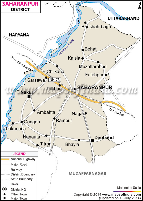
| *The Map showing the National Highway, Major roads, other Roads, District Headquarter, Town, etc in the Saharanpur District, Uttar Pradesh |
| Disclaimer: All efforts have been made to make this image accurate. However Mapping Digiworld Pvt Ltd and its directors do not own any responsibility for the correctness or authenticity of the same. |
The district of Saharanpur occupies an area of 3689 sq. km.
Saharanpur encompasses a population of 34,64,228 as per the census of 2011.
The district is primarily agricultural based with many related industries, of which the most important are the sugar, cigarettes, gur and cotton industries .Saharanpur has a national fame because of its wood carving industry.
The district of Saharanpur is famous from the religious point of view. Many pilgrims visit the religious places like the Shakti Peeth Sakumbari, Gughal, Bada Shri Lal Das and many other of equal importance to fulfill their wishes.
| Facts of Saharanpur District | |
|---|---|
| State | Uttar Pradesh |
| District | Saharanpur |
| District HQ | Saharanpur |
| Population (2011) | 3466382 |
| Growth | 19.66% |
| Sex Ratio | 890 |
| Literacy | 70.49 |
| Area (km2) | 3689 |
| Density (/km2) | 939 |
| Tehsils | Behat, Deoband, Nakur, Rampur Maniharan, Saharanpur |
| Lok Sabha Constituencies | Saharanpur |
| Assembly Constituencies | Behat, Deoband, Gangoh, Nakur, Rampur Maniharan, Saharanpur, Saharanpur Nagar |
| Languages | Hindi, Urdu |
| Rivers | Yamuna |
| Lat-Long | 29.835879,77.469292 |
| Travel Destinations | The Saharanpur Botanical Gardens, Ambedkar Memorial, Shri Hari Mandir, Gurdwara Sri Guru Singh Sabha, Shia Jamamasjid, Chota Imam Barha, Patheshwar Temple, Hari Krishna Mandir, Suparshvnath Jain Temple, Jain Temple, Bhuteshwar Temple, Bagheshwar Temple, Jama Masjid, Nau-Gaza Peer Shrine, Ojhria Peer Shrine, Shahjahani Mosque, Masjid Domazili, Masjid Imli Wali, Shri Baba Lal Das, Shakti Peeth Shakumbari, Guggha Veer/Gughal etc. |
| Government Colleges/Universities | Mahraj Singh College, Jv Jain Degree College, Munna Lal (Girls) Degree College etc. |