
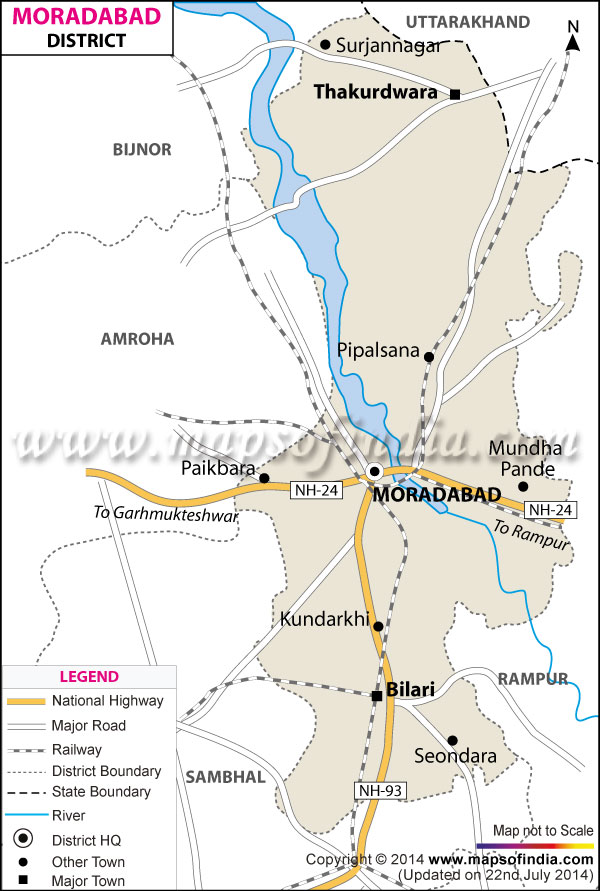
| The Map showing the National Highway, Major roads, other Roads, District Headquarter, Town, etc in the Moradabad District, Uttar Pradesh |
| Disclaimer: All efforts have been made to make this image accurate. However Mapping Digiworld Pvt Ltd and its directors do not own any responsibility for the correctness or authenticity of the same. |
district of Moradabad lies between 28 °21' to 28 °16' North Latitudes and 78 °4' to 79 ° East Longitude. This district of western Uttar Pradesh occupies a geographical area of 3493 sq.km.and is home to a population of 27, 61,620.
Total Population of Moradabad District in 2011 is 4773138.
Though an important agrarian market, Moradabad is famous worldwide for brass works and glassware. Moradabad is famous old name Peetal Nagri. Metalware, handicrafts, electroplating, sugar industry are the other industries.
An important landmark of Moradabad is Jama Masjid.
| Facts of Moradabad District | |
|---|---|
| State | Uttar Pradesh |
| District | Moradabad |
| District HQ | Moradabad |
| Population (2011) | 4772006 |
| Growth | 25.22% |
| Sex Ratio | 906 |
| Literacy | 56.77 |
| Area (km2) | 3718 |
| Density (/km2) | 1284 |
| Tehsils | Bilari, Kanth, Moradabad, Thakurdwara |
| Lok-Sabha Constituencies | Moradabad, Sambhal |
| Assembly Constituencies | Bilari, Kanth, Kundarki, Moradabad Nagar, Moradabad Rural, Thakurdwara |
| Languages | Hindi, Urdu, English, Khariboli, Haryanvi, Punjabi, Kumaoni |
| Rivers | Ramganga |
| Lat-Long | 29.027355,78.748398 |
| Travel Destinations | Sai Temple, Jama Masjid, Vidur Kuti, Raza Library, Mandawar Ka Mahal, Kanva Ashram, Pataleshwar Temple, Lord Shani Temple, Sita Temple, Kunj Bihari Temple, Bade Hanuman Ji Mandir, Braham Dev Ji Temple, Lord Venugopal Ji Temple, Shri Parshvanath Digambar Jain Mandir, Rambagh Dham, Najibudaulah�S Fort etc. |
| Government Colleges/Universities | Teerthanker Mahaveer University, Iftm University And Shri Venkateshwara University, Kedar Nath Girdharilal Khatri Pg College, Hindi College, Moradabad Institute Of Technology etc. |