| State |
Uttar Pradesh |
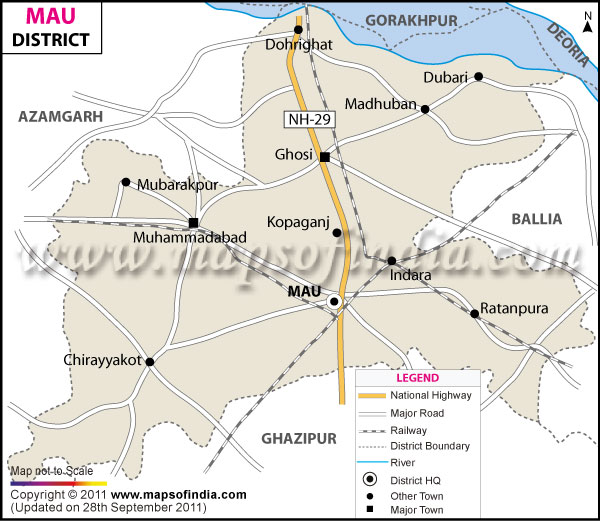
| District |
Mau |
| District HQ |
Mau |
| Population (2011) |
2205968 |
| Growth |
18.98% |
| Sex Ratio |
979 |
| Literacy |
73.09 |
| Area (km2) |
1713 |
| Density (/km2) |
1287 |
| Tehsils |
Ghosi, Madhuban, Maunath Bhanjan, Muhammadabad Gohna |
| Lok Sabha Constituencies |
Ghosi |
| Assembly Constituencies |
Ghosi, Madhuban, Mau, Muhammadabad-Gohana (SC) |
| Languages |
Hindi, Bhojpuri, Urdu |
| Rivers |
Ghaghara |
| Lat-Long |
25.987675,83.50668 |
| Travel Destinations |
Baba Thanidas Ji Temple, Shitala Mata Dham, Vandevi etc. |
| Government Colleges/Universities |
Vibhuti Narayan Inter College, Chhote Lohiya Degree College, Maryada Purushottam P.G. Collage, Shri Sankar Ji Inter College, Town Inter College, Ram Rb Ram Degree College, Sant Gani Pg Degree Collage, Bapu Smarak Inter College etc. |