
| Disclaimer: All efforts have been made to make this image accurate. However Mapping Digiworld Pvt Ltd and its directors do not own any responsibility for the correctness or authenticity of the same. |
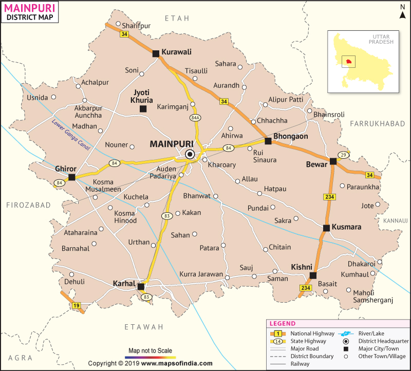
Numismatic evidence contains traces of Uttar Pradesh's Mainpuri District?s antiquarian history dating back to the efflorescent Gupta Golden Age and Harshavardhana?s rule. Enclosed in the Agra Division, Mainpuri District covers an expanse of 2745 sq. km and extends from the latitudinal parallels of 26°53' to 27°31' North and longitudinal meridians stretching between 78°27' to 79°26' East. Etah, Farrukhabad, Kannauj, Etawah and Firozabad etch Mainpuri District?s geographic boundaries.
The 2011 Census has recorded a population of 18,47,194 in Mainpuri District. The district economy is marked by a well- developed agricultural and mediocre industrial sector.
Mainpuri District?s scenery, imbibed with the panoramic rhapsodies encompassing verdant valleys, dense virgin forests laced by gurgling rivers make the district a definite stop for tourists on their way to visit the exotic edifices in Agra.
| Facts of Mainpuri District | |
|---|---|
| State | Uttar Pradesh |
| District | Mainpuri |
| District HQ | Mainpuri |
| Population (2011) | 1868529 |
| Growth | 17.02% |
| Sex Ratio | 881 |
| Literacy | 75.99 |
| Area (km2) | 2760 |
| Density (/km2) | 670 |
| Tehsils | Bhogaon, Karhal, Mainpuri |
| Lok Sabha Constituencies | Mainpuri |
| Assembly Constituencies | Bhongaon, Karhal, Kishani, Mainpuri |
| Languages | Hindi, Urdu |
| Rivers | --- |
| Lat-Long | 27.220441,79.100761 |
| Travel Destinations | The Raja'S Palace, The Garhi, Foolbagh, Lohia Park etc. |
| Government Colleges/Universities | Government Polytechnic College, Shre, Chitra Gupta Post Graduate College etc. |