
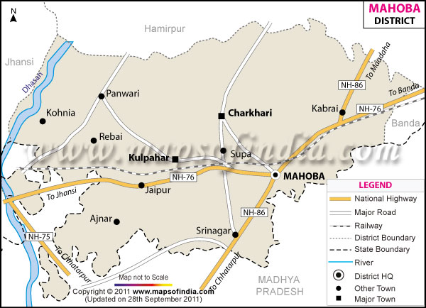
| *The Map showing the National Highway, Major roads, other Roads, District Headquarter, Town, etc in the Mahoba District, Uttar Pradesh |
| Disclaimer: All efforts have been made to make this image accurate. However Mapping Digiworld Pvt Ltd and its directors do not own any responsibility for the correctness or authenticity of the same. |
nomenclature of Mahoba District can be traced to 'Mahotsav Nagar', implying the city of great festivals. Situated in Uttar Pradesh, Mahoba occupying an area of 2849.6 sq. km was a kingdom of the Chandella dynasty and finds mention in the Rajput chronicles. Extending between 25°18' North latitude and 79° 53' East longitudes, the district sited at the foot of the Gorakh-giri or 'Gokhar' hills is conveniently placed nearly 55 km north of the temple city of Khajuraho, and 109 Km distance to the north east of the illustrious fort at Kalinjar.
As per the 2011 Census?s population count of 87,6,055 Mohaba?s inhabitants primarily depend on agriculture for their subsistence.
The pictures Mahoba District with its low granite hills and tranquil lakes coupled with its proximity to the eminent Khajuraho temples makes it an attractive tourist spots. Other notable tourism destinations of Mahoba include:
| Facts of Mahoba District | |
|---|---|
| State | Uttar Pradesh |
| District | Mahoba |
| District HQ | Mahoba |
| Population (2011) | 875958 |
| Growth | 23.64% |
| Sex Ratio | 878 |
| Literacy | 65.27 |
| Area (km2) | 2847 |
| Density (/km2) | 288 |
| Tehsils | Charkhari, Kulpahar, Mahoba |
| Lok Sabha Constituencies | Hamirpur |
| Assembly Constituencies | Charkhari, Mahoba |
| Languages | Hindi, Urdu |
| Rivers | --- |
| Lat-Long | 25.403585,79.829006 |
| Travel Destinations | Shiv Tandav, Jain Tirthkar, Khakraha Math, Urmil Dam, Chandika Devi Temple, Sun Temple, Alha & Udal Chowk, Gokhar Parvat, Belatal etc. |
| Government Colleges/Universities | Govt. Polytechnic College, Nehru Bal Inter College, Mukund Lal Tiwari Inter College, D A V Inter College etc. |