
| Disclaimer: All efforts have been made to make this image accurate. However Mapping Digiworld Pvt Ltd and its directors do not own any responsibility for the correctness or authenticity of the same. |
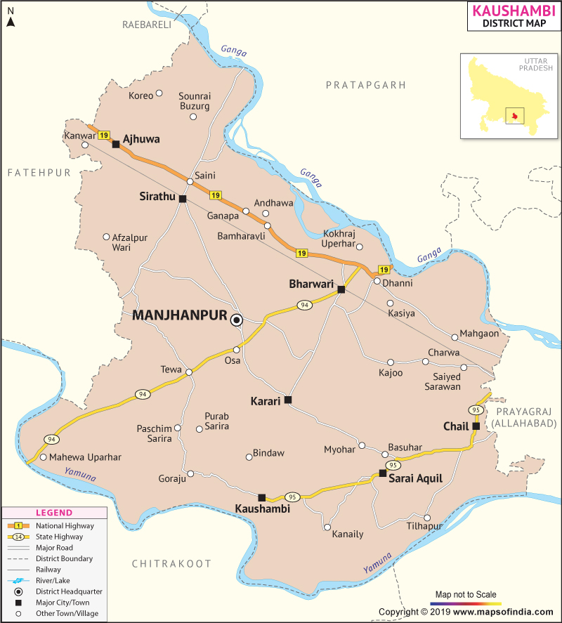
Kaushambi District is on the southern part of the state of Uttar Pradesh. The district encompasses an area of 2012.8 sq. km.
The district of Kaushambi has an agrarian economy. The crops which are mainly cultivated are wheat and rice. Some other crops like chana, arhar and urad are also grown. It is Kaushambi where the special kind of guava, the Allahabad type, is found.
Kaushambi has a total population of 15,96,909 as recorded in the 2011 census.
Kaushambi is a place of historical interest. There are many famous temples in the district, namely the Sheetla Temple of Kara, Durga Devi Temple of Manjhanpur and Kamasin Devi Temple.
| Facts of Kaushambi District | |
|---|---|
| State | Uttar Pradesh |
| District | Kaushambi |
| District HQ | Manjhanpur |
| Population (2011) | 1599596 |
| Growth | 23.70% |
| Sex Ratio | 908 |
| Literacy | 61.28 |
| Area (km2) | 1837 |
| Density (/km2) | 897 |
| Tehsils | Chail, Manjhanpur, Sirathu |
| Lok Sabha Constituencies | Kaushambi |
| Assembly Constituencies | 3-Chail, Manjhanpur, Sirathu |
| Languages | Hindi, Urdu |
| Rivers | Yamuna, Ganga |
| Lat-Long | 25.502785,81.429863 |
| Travel Destinations | Ashokan Pillars, Dighambar Jain Temple, Parikshit Fort, Ashram Of Saint Malookdas, Chhetrapal Bhairav Temple, Sheetla Temple, The Jain Temple, Chhetrapal Bhairav Temple, Hanuman Temple Kaleshwar Mahadev Temple, Durga Devi Temple, Sri Ram Temple, Kamasin Devi Temple etc. |
| Government Colleges/Universities | Kaushambi Degree College etc. |