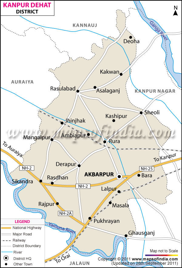
| Facts of Kanpur Dehat (Ramabai Nagar) District |
| State |
Uttar Pradesh |
| District |
Kanpur Dehat (Ramabai Nagar) |
| District HQ |
Akbarpur (Mati) |
| Population (2011) |
1796184 |
| Growth |
14.89% |
| Sex Ratio |
865 |
| Literacy |
75.78 |
| Area (km�) |
3021 |
| Density (/km�) |
594 |
| Tehsils |
Akbarpur, Bhognipur, Derapur, Rasulabad, Sikandra |
| Lok Sabha Constituencies |
Akbarpur |
| Assembly Constituencies |
Rasulabad, Akbarpur-Raniya, Sikandra, Bhognipur |
| Languages |
Hindi, Urdu |
| Rivers |
yamuna |
| Lat-Long |
26.52465,79.842339 |
| Travel Destinations |
Bhitargaon Temple, Jageshwar Mandir, Isckon Temple, Tapeshwari Temple etc. |
| Government Colleges/Universities |
Kanchan Singh Bhooli Devi Degree College, Shivvati Shivnandan Shukla Mahavidalya, P.Triyugi Narayan Degree College, Sarla Dwivedi Mahavidyalaya, Darsan Singh Smrati Mahavidlay, Pt.Kundan Lal Shukla Mahavidyalaya, Mayank Shekhar Mahavidyalaya, Gurha Devi Shyam Bihari Mahavidyalaya, Akbarpur Degree College etc. |