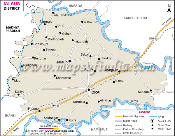
*The Map showing the National Highway, Major roads, other Roads, District Headquarter, Town, etc in the Jalaun District, Uttar Pradesh
Disclaimer: All efforts have been made to make this image accurate. However Mapping Digiworld Pvt Ltd and its directors do not own any responsibility for the correctness or authenticity of the same.
Jalaun is a district which is positioned in the state of Uttar Pradesh, India. It falls under the Jhansi Division of the state. Jalaun lies in the western part of Uttar Pradesh.
The district of Jalaun has its headquarters at Orai. The total population of the district is approximately 16,70,718 as recorded in the census of 2011.
Facts of Jalaun District
State
Uttar Pradesh
District
Jalaun
District HQ
Orai
Population (2011)
1689974
Growth
16.19%
Sex Ratio
865
Literacy
73.75
Area (km2)
4565
Density (/km2)
366
Tehsils
Jalaun, Kalpi, Konch, Madhogarh, Orai
Lok Sabha Constituencies
Jalaun
Assembly Constituencies
Kalpi, Madhaugarh, Orai
Languages
Hindi, Urdu
Rivers
Yamuna, Betwa, Pahuj
Lat-Long
26.130782,79.468803
Travel Destinations
Fort Jagmanpur, Radha Krishna Mandir, Kamaksha Devi Mandir, Maa Kali & Shiv Mandir, Choti Mata Mandir, Dwarikadeesh Mandir, Bambai Wala Mandir, Nana Maharaj Mandir, Ganesh Ji Mandir, Hanuman Mandir, Shiv Ji Mandir etc.
Government Colleges/Universities
M.K.J.A Government Medical College, Gandhi Degree College, Maharani Bai Inter College, Chhatrasal Inter College, Dr. Ambedkar Inter College, Mathura Devi Girls Inter College, M.L.B. Inter College, Govt. Inter Collage etc.