
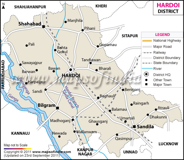
| *The Map showing the National Highway, Major roads, other Roads, District Headquarter, Town, etc in the Hardoi District, Uttar Pradesh |
| Disclaimer: All efforts have been made to make this image accurate. However Mapping Digiworld Pvt Ltd and its directors do not own any responsibility for the correctness or authenticity of the same. |
Hardoi is a district which falls under the state of Uttar Pradesh, India. Its global location is between 26° 53? and 27° 46?north latitudes and between 79° 41? and 80° 46?east longitudes.
The total geographical area of the district is 5,947 sq. km. According to the 2011 census the population if Hardoi is 40,91,380.
The land of Hardoi has undergone the project of sodicreclaimation which has increased its fertility. The main crops are wheat, pulses, vegetables, paddy and sugar cane. Fruits like mango and guava are also cultivated.
The district has historical importance attached to it. The notable places are Saiyyadbara Masjid, Jama Masjid Shahabad, Hatyaharan Pilgrim and Firojshah Tuglaq Masjid.
| Facts of Hardoi District | |
|---|---|
| State | Uttar Pradesh |
| District | Hardoi |
| District HQ | Hardoi |
| Population (2011) | 4092845 |
| Growth | 20.44% |
| Sex Ratio | 868 |
| Literacy | 64.57 |
| Area (km2) | 5986 |
| Density (/km2) | 683 |
| Tehsils | Bilgram, Hardoi, Sandila, Sawayajpur, Shahabad |
| Lok Sabha Constituencies | Hardoi, Misrikh |
| Assembly Constituencies | Balamau, Baligram-Mallanwan, Gopamau, Hardoi, Sandi, Sandila, Sawajipur, Shahabad |
| Languages | Hindi, Urdu |
| Rivers | Ramganga, Ganga |
| Lat-Long | 27.298571,80.191555 |
| Travel Destinations | Nemisharayan, Sandi Bird Sanctuary, Naimisha Forest, Mallawan, Shahabad, Sandila etc. |
| Government Colleges/Universities | Maharana Pratap Government Post Graduate College, Cane Society Nehru Degree College, Arya Kanya Degree College, Patel Shri Teekaram Degree College, Mahaveer Prasad Mayavati Mahavidylya, Shri Mahipal Singh Degree College etc. |