| Facts of Hapur District |
| State |
Uttar Pradesh |
| District |
Hapur (Panchsheel Nagar district) |
| District HQ |
Hapur |
| Population (2011) |
* |
| Growth |
* |
| Sex Ratio |
* |
| Literacy |
* |
| Area (km2) |
* |
| Density (/km2) |
* |
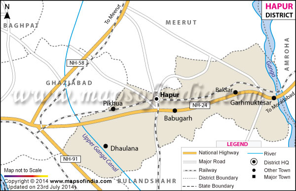
| Tehsils |
Hapur, Garhmukteshwar, Dhaulana |
| Lok Sabha Constituencies |
Meerut, Ghaziabad |
| Assembly Constituencies |
Dholana, Garhmukteshwar, Hapur |
| Languages |
Hindi, Urdu, English |
| Rivers |
--- |
| Lat-Long |
28.730335,77.778296 |
| Travel Destinations |
Chandi Mandir, Dudheshwar Nath Temple, Sapnawat Sai Mandir etc. |
| Government Colleges/Universities |
Ssv Pg College, Shri Shanti Inter College, Ssv Inter College etc. |