
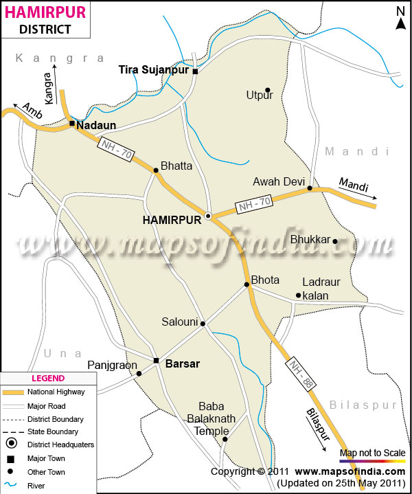
| *The Map showing the National Highway, Major roads, other Roads, District Headquarter, Town, etc in the Hamirpur District, Uttar Pradesh |
| Disclaimer: All efforts have been made to make this image accurate. However Mapping Digiworld Pvt Ltd and its directors do not own any responsibility for the correctness or authenticity of the same. |
Situated in the southwestern part of Uttar Pradesh, is the district of Hamirpur. It encompasses an area of 4,094 sq. km. as registered in the 1991 census. Hamirpur has a total population of 11,04,021.
The major crops, which are produced in Hamirpur are sugar cane, tilhan and potato along with some important food grains. Some small scale industries can also be seen in the district.
City Forest is the most popular tourist destination in Hamirpur. There are many temples and places of religious importance in Hamirpur. These are Singh Maheshwari Temple, Chaura Devi Temple, Meher Temple, Bake Bihari Temple, Gayatri Shakti Peeth, Nirankari Ashram and Kalpa Vraksh.
| Facts of Hamirpur District | |
|---|---|
| State | Uttar Pradesh |
| District | Hamirpur |
| District HQ | Hamirpur |
| Population (2011) | 1104285 |
| Growth | 5.80% |
| Sex Ratio | 861 |
| Literacy | 68.77 |
| Area (km2) | 4325 |
| Density (/km2) | 268 |
| Tehsils | Hamirpur, Maudaha, Rath, Sarila |
| Lok Sabha Constituencies | Hamirpur |
| Assembly Constituencies | Hamirpur, Rath |
| Languages | Hindi including Bundeli |
| Rivers | Betwa, Yamuna, Virma, Dhasan |
| Lat-Long | 25.799891,80.007534 |
| Travel Destinations | Gram Khandey Temple, Singh Maheshweri Temple, Chaura Devi Temple, Meher Temple, City Forest, Gayatri Tapubhumi, Bake Bihari Temple, Brahamanand Dham, Kalpa Vraksh etc. |
| Government Colleges/Universities | Abhinav Pragya Mahavidyalaya, Government Post Graduate College, Government Girls Post Graduate College, Manjul Mishra College Of Science And Art, Shri Ramkrishan Mahavidhyalaya Etc. |