
| Disclaimer: All efforts have been made to make this image accurate. However Mapping Digiworld Pvt Ltd and its directors do not own any responsibility for the correctness or authenticity of the same. |
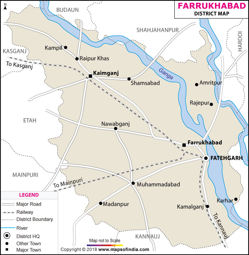
Farrukhabad is a district which falls under the state of Uttar Pradesh, India. The global location of the district is between 26° 46' and 27° 43' north latitude and 79° 7' and 80° 2' east longitude. The Farrukhabad district is a portion of Kanpur division.
On the agricultural front, the district is engaged in cultivating a fairly large quantity of potato and it is also well known for producing sunflower.
Farrukhabad can boast of some places of historical importance like Kampil and Sankisa, both famous among the tourists. Kaimganj is also a well known place for being the home of a sugar mill and a tobacco industry.| Facts of Farrukhabad District | |
|---|---|
| State | Uttar Pradesh |
| District | Farrukhabad |
| District HQ | Fatehgarh |
| Population (2011) | 1885204 |
| Growth | 20.05% |
| Sex Ratio | 874 |
| Literacy | 69.04 |
| Area (km2) | 2279 |
| Density (/km2) | 865 |
| Tehsils | Amritpur, Farrukhabad, Kaimganj |
| Lok Sabha Constituencies | Farrukhabad |
| Assembly Constituencies | Amritpur, Bhojpur, Farrukhabad, Kaimganj |
| Languages | Hindi, Urdu |
| Rivers | Ganga, Ramganga |
| Lat-Long | 27.44004,79.468803 |
| Travel Destinations | Fatehgarh Cantonment, Swargdwari, Kampil, Sankisa, Neebkarori, Panchal Ghat, Pandaveshwar Mahadev etc. |
| Government Colleges/Universities | Janta Inter College, R P P G College, Sri Ram Swarup Inetr College, Shri Pursottam Singh Inter College, Snm Intercollege, Shakti Sainik Inter College, Pandit Shri Puttu Lal Dubeyinter College, Puttu Lal Dubey Inter College, C.P.V.N Inter College etc. |