
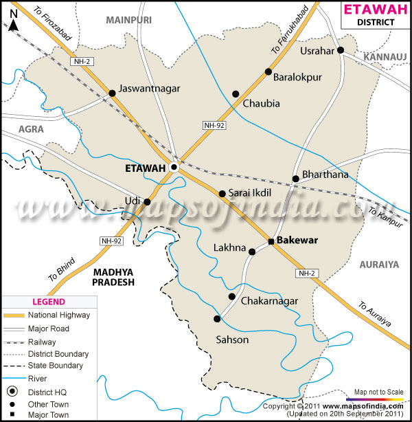
| *The Map showing the National Highway, Major roads, other Roads, District Headquarter, Town, etc in the Etawah District, Uttar Pradesh |
| Disclaimer: All efforts have been made to make this image accurate. However Mapping Digiworld Pvt Ltd and its directors do not own any responsibility for the correctness or authenticity of the same. |
Situated in the western part of Uttar Pradesh and bordering Rajasthan, is the district of Etawah. The global location of Etawah is 26° 47' north latitude and 72° 20' east longitude. Etawah forms a part of the Kanpur Division.
The district exports a number of substances like fish, oil-seeds, jaggery, ghi, different food-grains, and handloom cloth. It also exports ayurvedic medicines to the districts nearby.
The National Chambal Sanctuary is a nearby tourist spot and it has in its store a good number of birds and animals including the rarely found Gangetic dolphin.
| Facts of Etawah District | |
|---|---|
| State | Uttar Pradesh |
| District | Etawah |
| District HQ | Etawah |
| Population (2011) | 1581810 |
| Growth | 18.15% |
| Sex Ratio | 870 |
| Literacy | 78.41 |
| Area (km2) | 2287 |
| Density (/km2) | 683 |
| Tehsils | Bharthana, Chakarnagar, Etawah, Jaswantnagar, Saifai |
| Lok Sabha Constituencies | Etawah |
| Assembly Constituencies | Bharthana, Etawah, Jaswantnagar |
| Languages | Hindi, Urdu |
| Rivers | Yamuna, Chambel |
| Lat-Long | 26.838776,79.117241 |
| Travel Destinations | --- |
| Government Colleges/Universities | Janta College, Karm Kshetra Degree (Pg) College, Dr. Ram Manohar Lohia Degree College, K.K.P.G College, Mahi College Of Science Technology etc. |