
| Disclaimer: All efforts have been made to make this image accurate. However Mapping Digiworld Pvt Ltd and its directors do not own any responsibility for the correctness or authenticity of the same. |
Chitrakoot, 'the hill of many wonders' is a place of great mythological relevance and religious importance. Chitrakoot is associated with historic Ramayana epic as this was the place where Lord Rama, Sita, and Lakshman spent their 11 years of exile.
Population Census of Chitrakoot District in 2011 is 990626.
| Facts of Chitrakoot District | |
|---|---|
| State | Uttar Pradesh |
| District | Chitrakoot |
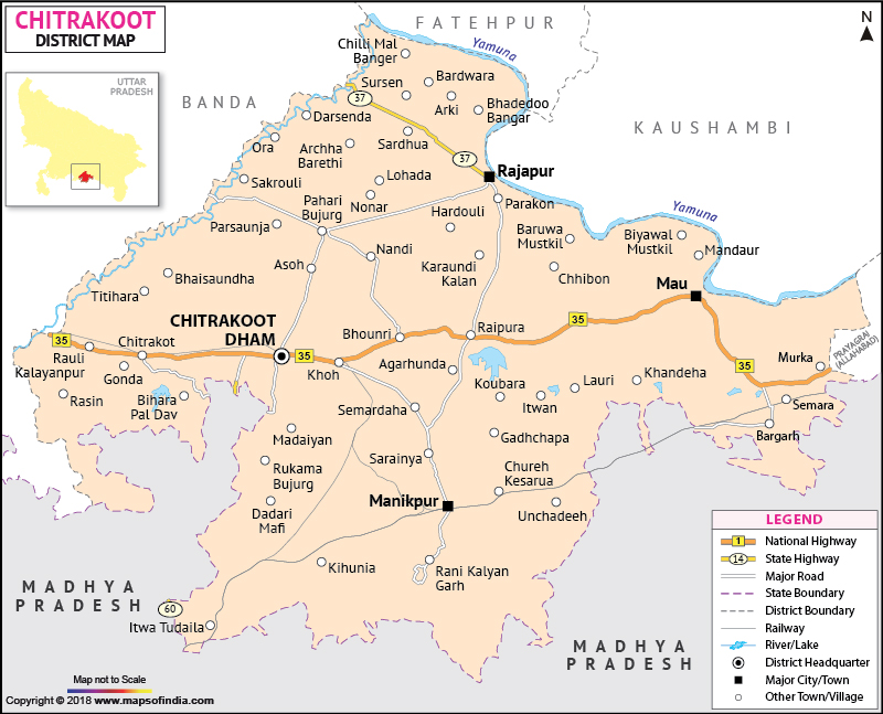
| District HQ | Chitrakoot |
| Population (2011) | 991730 |
| Growth | 29.43% |
| Sex Ratio | 879 |
| Literacy | 65.05 |
| Area (km2) | 3202 |
| Density (/km2) | 315 |
| Tehsils | Karwi, Mau |
| Lok Sabha Constituencies | Banda |
| Assembly Constituencies | Chitrakoot, Manikpur, Mau |
| Languages | Hindi, Urdu |
| Rivers | Yamuna |
| Lat-Long | 25.110472,81.072807 |
| Travel Destinations | Ram Ghat, Hanuman Dhara, Kamadgiri, Gupt Godavari Caves, Sphatik Shila, Kamtaji Temple, Sati Anusuya Temple, Chitrakoot Falls, Bharat Koop, Bharat Milap Mandir, Ganesh Bagh etc. |
| Government Colleges/Universities | Goshwami Tulshidas Government College, Chitrakoot Inter College, Government Girls Inter College, Government Inter College etc. |