
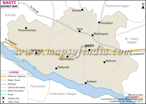
| *The Map showing the National Highway, Major roads, other Roads, District Headquarter, Town, etc in the Basti District, Uttar Pradesh |
| Disclaimer: All efforts have been made to make this image accurate. However Mapping Digiworld Pvt Ltd and its directors do not own any responsibility for the correctness or authenticity of the same. |
Situated in the state of Uttar Pradesh, Basti covers an area of 2718.3 sq. km. The district is located between 26° 23' and 27° 30' of North Latitudes. In east the district stretches from 82° 17' to 83° 20' East longitude.
The population in the District is 27, 50,764 according to the census of 1991.
There are many small scale industries which offer employment to the local people. Basti is rich in bamboo, Eucalyptus (Eucalyptus teritrornis), mango and shisham (Dalbergia sissoo).
The places which have tourism value are Ganeshpur, Makhauda, Chhawni Bazar, Chando Tal, Barah, Bhadeshwar Nath, Paida and Agauna.
| Facts of Basti District | |
|---|---|
| State | Uttar Pradesh |
| District | Basti |
| District HQ | Basti |
| Population (2011) | 2464464 |
| Growth | 18.21% |
| Sex Ratio | 963 |
| Literacy | 67.22 |
| Area (km2) | 2687 |
| Density (/km2) | 916 |
| Tehsils | Basti, Bhanpur, Harraiya, Rudhauli |
| Lok Sabha Constituencies | Basti |
| Assembly Constituencies | Basti Sadar, Harraiya, Kaptanganj, Mahadewa, Rudhali |
| Languages | Hindi, Awadhi, Urdu, Bhojpuri |
| Rivers | Kuwano |
| Lat-Long | 26.818249,82.764423 |
| Travel Destinations | Pakke Bazar, Ahmath Pull, Kutiwa, Ganeshpur, Makhauda, Chawni Bazar, Nagar, Chando Tal, Barah, Jama Masjid, Kateshwar Park, Bhadeshwar Nath, Paida, Mahua Dabar, Bhuila Taal, Pakari Bikhy, Dihwa (Jaitapur), Agauna etc. |
| Government Colleges/Universities | A.P.N. Degree College, Kisan Degree College, Mahila Mahavidalya, Karma Devi Smriti Mahavidyalaya etc. |