
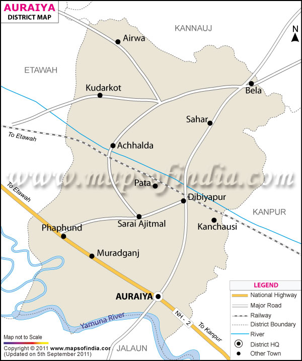
| *The Map showing the National Highway, Major roads, other Roads, District Headquarter, Town, etc in the Auraiya District, Uttar Pradesh |
| Disclaimer: All efforts have been made to make this image accurate. However Mapping Digiworld Pvt Ltd and its directors do not own any responsibility for the correctness or authenticity of the same. |
Auraiya district is located in the south west of Uttar Pradesh covering 2054 sq.km. It is geographically located between 26 degree 21 minute and 27 degree 1minute of north latitude and 78 degree 45 minute and 79 degree 45 minute of east longitude.
The economy of Auraiya district is dependent on agriculture, small scale industries, and various other trades. The chief crops grown in the district are paddy, wheat, gram, peas, maize, and bajra. The production of handloom cloth has established in the Auraiya district.
One of the famous tourist destination of Auraiya district is the National Chambal Sanctuary located 30 km away from Araiya is popular for gangetic dolphins.
| Facts of Auraiya District | |
|---|---|
| State | Uttar Pradesh |
| District | Auraiya |
| District HQ | Auraiya |
| Population (2011) | 1379545 |
| Growth | 16.91% |
| Sex Ratio | 864 |
| Literacy | 78.95 |
| Area (km2) | 2051 |
| Density (/km2) | 681 |
| Tehsils | Auraiya, Bidhuna |
| Lok Sabha Constituencies | Kannauj |
| Assembly Constituencies | Auraiya, Bidhuna, Dibiyapur |
| Languages | Hindi, English, Urdu |
| Rivers | --- |
| Lat-Long | 26.470112,79.519876 |
| Travel Destinations | Devkali Temple, Badi Devi Temple, Guariya Temple etc. |
| Government Colleges/Universities | --- |