
| *The Map showing National Highway, Major Roads, District Head Quarter etc in the district of Jhalawar Rajasthan. |
| Disclaimer: All efforts have been made to make this image accurate. However Mapping Digiworld Pvt Ltd and its directors do not own any responsibility for the correctness or authenticity of the same. |
The district of Jhalawar is situated in the state of Rajasthan in north western India. It is located on the edge of the Malwa Plateau in the south east region of the state. This former princely state was created from Kota in 1838. The name of the district comes from the Jhalas, a clan of Rajputs who were the rulers of the princely state.
Jhalawar district has a rich history and natural wealth. It features ancient forts and pre-historic cave paintings. It is home to various species of flora and fauna living in its lush forests. The district is also the breeding grounds of the saras crane.
The district covers an area of 6928 square kilometers. The district is subdivided into 6 sub divisions, 4 sub tehsils, 7 tehsils, 1618 revenue villages and 6 blocks. The population of the district is around 11, 80, 342.
The climate of the district is marked by cold winters and hot dry summers like that of the Indo-Gangatic plain. The district is well connected by rail and road. The nearest airport is at Jaipur which is 330 kilometers away. Ramganjmandi is the nearest railway station which is 25 kilometers from here. Other nearby railway stations are Kota Junction, 87 kilometers away, and Bhawani Mandi, 45 kilometers away.
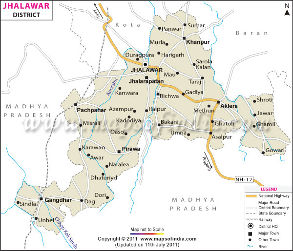
National Highway No12 passes through the Jhalawar district. There are also road links with cities of Jaipur, Bundi and Kota. The city of Delhi is 590 kilometers from here and Udaipur is 385 kilometers away. The state capital, Jaipur is 330 kilometers away while Bhopal is at a distance of 265 kilometers from the district.
The Jhalawar district has a number of attractions like Jhalawar Fort (Garh Palace), Gagron Fort, Fort of Gangdhar, Manohar Thana Fort, Government Museum and Bhawani Natya Shala