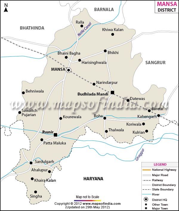
| Facts of Mansa District |
| State |
Punjab |
| District |
Mansa |
| District HQ |
Mansa |
| Population (2011) |
769751 |
| Growth |
0.00% |
| Sex Ratio |
883 |
| Literacy |
61.83 |
| Area (km2) |
2174 |
| Density (/km2) |
350 |
| Tehsils |
Budhlada, Mansa, Sardulgarh |
| Lok Sabha Constituencies |
Bhatinda |
| Assembly Constituencies |
Mansa, Sardulgarh, Budhalada (SC) |
| Languages |
Punjabi, Hindi |
| Rivers |
Ghaghar |
| Lat-Long |
29.985866,75.434475 |
| Travel Destinations |
Gurudwara Patshahi, Sahdulgarh Fort etc. |
| Government Colleges/Universities |
Govt. Nehru Memorial Post Graduate College, S.D. Kanya Mahavidyala College,S.S College of Education for Girls etc. |