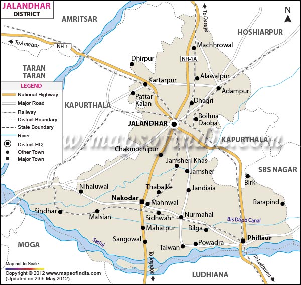
| Facts of Jalandhar District |
| State |
Punjab |
| District |
Jalandhar |
| District HQ |
Jalandhar |
| Population (2011) |
2193590 |
| Growth |
0.00% |
| Sex Ratio |
915 |
| Literacy |
82.48 |
| Area (km2) |
2625 |
| Density (/km2) |
831 |
| Tehsils |
Jalandhar I, Jalandhar II, Nakodar, Phillaur, Shahkot |
| Lok Sabha Constituencies |
Jalandhar (SC) |
| Assembly Constituencies |
Phillaur (SC), Nakodar, Shahkot, Kartarpur (SC), Jalandhar West (SC), Jalandhar Central, Jalandhar North, Jalandhar Cantt., Adampur (SC) |
| Languages |
Punjabi including Doabi, Hindi |
| Rivers |
Sutlej |
| Lat-Long |
31.217499,75.585136 |
| Travel Destinations |
Gurdwara 6thGuru Basti Sheikh & Ram Sar, Gurdwaras of Kartarpur, Gurdwara Mau Sahib, Devi Tlab Mandir, Baba Sodal mandir, Masjid Imam Nasar, Niku Park, Wonder Land, Prithvi's Planet etc. |
| Government Colleges/Universities |
Punjab Technical University, Government Arts & Sports College, Government Industrial Training Institute For Womens, Government College of Education, Doaba College, Dr. B. R. Ambedkar National Institute of Technology, National Institute of Technology etc. |