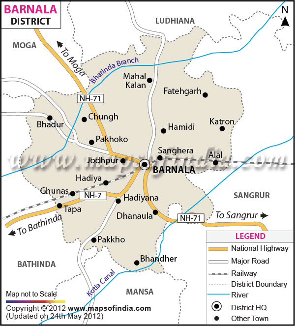
| Facts of Barnala District |
| State |
Punjab |
| District |
Barnala |
| District HQ |
Barnala |
| Population (2011) |
595527 |
| Growth |
0.00% |
| Sex Ratio |
876 |
| Literacy |
67.82 |
| Area (km2) |
1423 |
| Density (/km2) |
419 |
| Tehsils |
Barnala, Tapa |
| Lok Sabha Constituencies |
Sangrur |
| Assembly Constituencies |
Bhadaur (SC), Barnala, Mehal Kalan (SC) |
| Languages |
Punjabi, Hindi |
| Rivers |
----- |
| Lat-Long |
30.402491,75.48274 |
| Travel Destinations |
Gurudwara Arisar Sahib Patshahi IX, Gurudwara Gurusar Pakka Sahib Patshahi IX, Gurudwara Patshahi IX, Gurudwara Wadda Ghalughara, Gurudwara Shri Guru Tegh Bahadur Sahib Patshahi IX, Sekha etc. |
| Government Colleges/Universities |
S. D. College, Akal Polytechnic College, Barnala Polytechnic College, Guru Arjun Dev College of Management and Technology, Guru Gobind Singh College of Education, Sacred heart international college of education, Technical Education College etc. |