
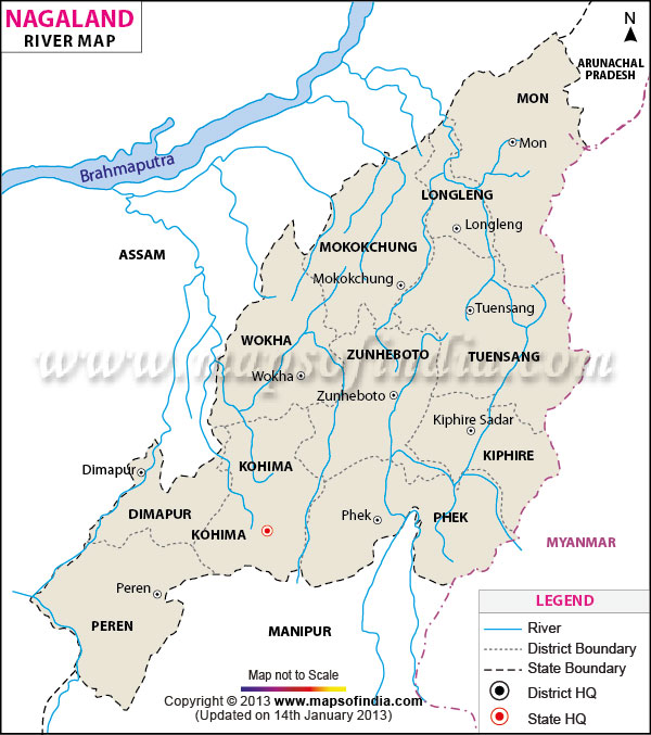
| *The Nagaland Rivers Network Map showing the River Flowing in and out of Nagaland. |
| Disclaimer: All efforts have been made to make this image accurate. However Mapping Digiworld Pvt Ltd and its directors do not own any responsibility for the correctness or authenticity of the same. |
Nagaland is a state covered by four major rivers. These rivers serve as an important source of water for the state of Nagaland. Dhansiri which is one of the major tributaries of Brahmaputra River covers most of the areas in Nagaland.
The state also receives water from Dikhu, Doyang and the Jhanji Rivers. In the absence of any waterfalls the state relies heavily on these rivers to meet its water requirements. These rivers receive a continuous supply of water throughout the year.
MapsofIndia brings you the river maps of Nagaland. These include: