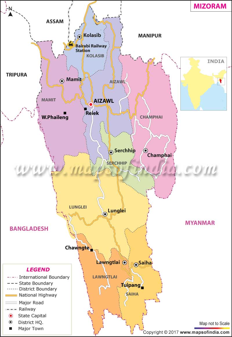
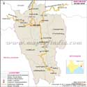
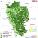
*Map of Mizoram with major roads, railways, rivers, national highways, etc.
Disclaimer: All efforts have been made to make this image accurate. However Mapping Digiworld Pvt Ltd and its directors do not own any responsibility for the correctness or authenticity of the same.
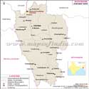
Mizoram is one of the seven northeastern states of India and is enclosed by Myanmar, Bangladesh,Manipur, Assam, and Tripura. In the local language, Mizoram means "Land of the Highlanders". The Mizo Hills, which dominate the state's topography, rise to more than 6560 ft near the Myanmar border. Aizawl, the state capital, is 4000 ft above sea level.
About three-fourths of the population earns their livelihood from agriculture. Paddy, maize, mustard, sugarcane, sesame, fiber less ginger and potatoes are the other prominent crops grown in this area. Small-scale irrigation projects are being developed to increase the crop yield. There are no major industries in the state. Small-scale industries include sericulture, handloom and handicrafts industries, sawmills and furniture workshops, oil refining, grain milling, and ginger processing. The service sector comprises of Tourism, Real Estate and Insurance.
Mizoram State Information
Capital
Aizawl
Date of formation
20. Feb. 1987
Governor
Krishan Kant Paul
Chief Minister
Pu Lalthanhawla
Tourist attractions
Phawngpui, Sibuta Lung, Philpui Grave, Pangzawl
Festivals
Chapchar Kut, Mim Kut, Pawl Kut
Major dance and music forms
Khal Lam, Chai, Chhilam, Sawlkin
Arts and crafts
Puan; cane and bamboo baskets, pipes, toys that utilise the natural elasticity of bamboo