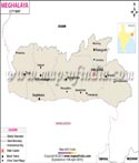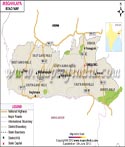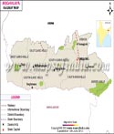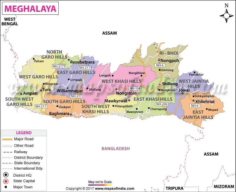
| *Map of Meghalaya with districts, railways, rivers and major road network. |
| Disclaimer: All efforts have been made to make this image accurate. However Mapping Digiworld Pvt Ltd and its directors do not own any responsibility for the correctness or authenticity of the same. |
Meghalaya, a hilly strip in eastern India, covers a total area of just 22,429 sq km. It was originally a part of Assam, but on 21 January 1972, the districts of Khasi, Garo and Jaintia hills became a part of this beautiful northeastern state. The percentage of literacy in this state is 75.84 and the languages mostly spoken are English, Khasi and Garo.
It is predominantly an agrarian economy. The important crops of the state are potato, rice, maize, pineapple, banana etc. The service sector comprises of Real estate and Insurance companies. Meghalaya's gross state domestic product for 2004 is estimated at $1.6 billion in current prices.
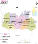
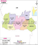
Meghalaya has 11 districts, divided into three divisions, which are as follows:
Shillong, the capital of the state is a popular hill station. There are several falls in and around Shillong. The Shillong peak is highest in the state and is good for trekking. It is also known as the 'abode of the gods' and has excellent views. If one is not in a mood for camping, the state also offers many good hotels and lodging facilities.
Meghalaya also boasts for its village Mawlynnong. The reason behind taking so much of pride in this village is because of it being listed as the cleanest village in Asia. The Discovery India Magazine awarded the prestigious tag of 'Cleanest Village in Asia' in 2003 to this village.
Over the years, this state has become a hotspot for the tourists. People from the country as well as abroad visit the state every year. The natural beauty of the state is something worth-seeing and the fresh air and weather is worth experiencing in this state.
Some of the national highways in Meghalaya are National Highway 40, National Highway 44, National Highway 51, National Highway 62 and National Highway 106.
Major Towns of Meghalaya
There are only two seasons in this state, Monsoon and Winter. If you do not like getting drenched in the rain then you should plan your trip during the winter season.
The nearest airport and railway station to Meghalaya are in Guwahati. All the places in this state are connected by Meghalaya State Transport Corporation. So to head to Meghalaya, you first need to land yourself up in Guwahati and then book your tickets.