
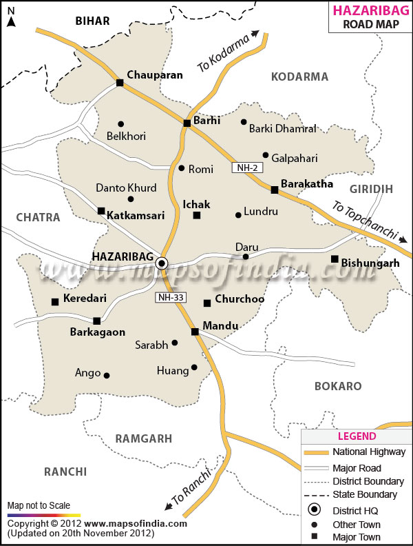
| *Hazaribagh District Map highlights the National Highways, Major Roads, District Headquarter, etc. |
| Disclaimer: All efforts have been made to make this image accurate. However Mapping Digiworld Pvt Ltd and its directors do not own any responsibility for the correctness or authenticity of the same. |
| HAZARIBAGH DISTRICT PROFILE | |
|---|---|
| COUNTRY | INDIA |
| STATE | JHARKHAND |
| AREA | 4,313 sq km |
| DISTRICT HEADQUARTERS | Hazaribagh |
| ASSEMBLY SEATS | 5 |
| POPULATION | |
| Total | 1734005 |
| Male | 891179 |
| Females | 842826 |
| Density/km2 | 403 |
| Sex Ratio | 946 |
| LITERACY RATE (% age) | |
| Male | 81.15 |
| Females | 59.25 |