
| Disclaimer: All efforts have been made to make this image accurate. However Mapping Digiworld Pvt Ltd and its directors do not own any responsibility for the correctness or authenticity of the same. |
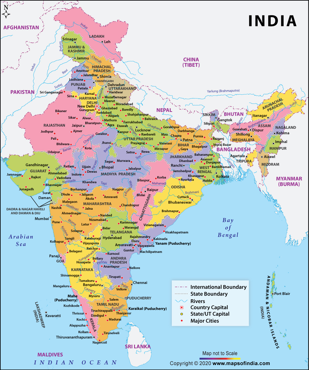
The India Large Color Map is a perfect guide that would familiarize you with the various states, cities, rivers, boundaries and other aspects of the country. To make it easy for the user to distinguish one state from the other, each one is shown in a different color. Apart from the color, the state boundary, which demarcates the borders of states, is also easily identifiable. The map highlights the capital of India as well as the important cities of each state.
The map depicts India's neighboring countries - Pakistan, China, Nepal, Bhutan, Bangladesh, Myanmar and Sri Lanka. The location of Afghanistan is also shown on the map. One can also spot the rivers and oceans such as the Arabian Sea, Bay of Bengal and the Indian Ocean.
Want information on a particular state? Just click on that state and the map of that particular state will open. Here you can get all the information that you need about that state, such as state and district boundary, railway links, state and district headquarters, main towns, highways and roads. The content provided on the state map page will give you a brief about the important aspects of the state.
The India Large Color Map is useful for travelers, researchers, students, or those who want to get acquainted with the country.