
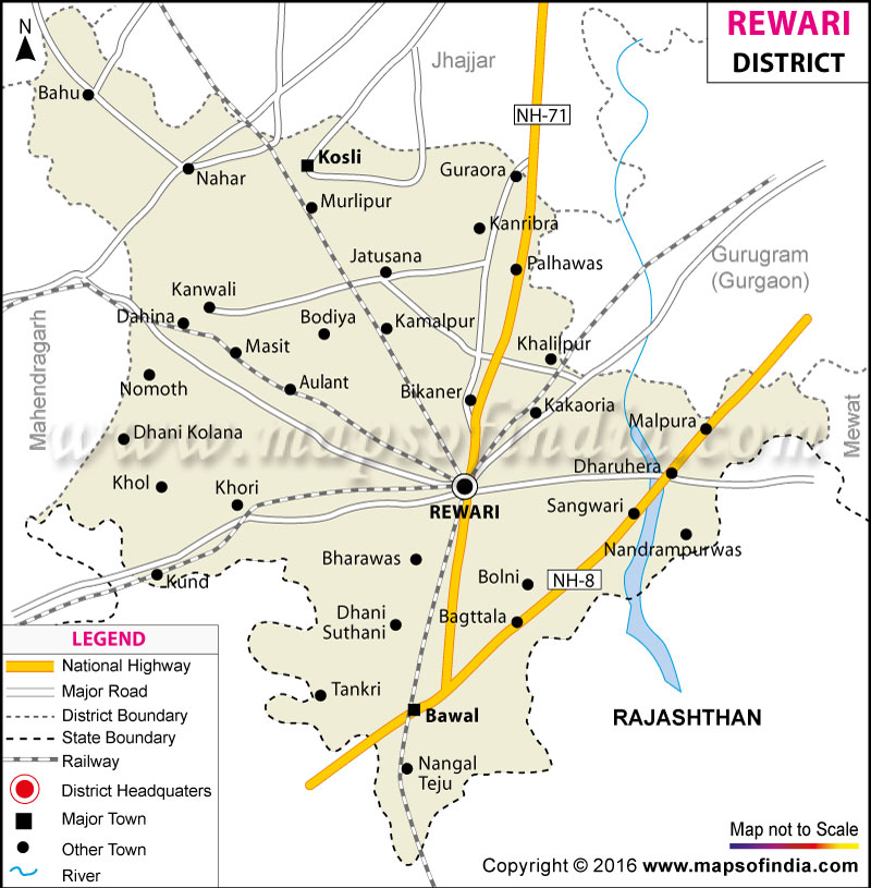
| *Rewari District map showing National highways, district headquarter, roads, towns, etc. |
| Disclaimer: All efforts have been made to make this image accurate. However Mapping Digiworld Pvt Ltd and its directors do not own any responsibility for the correctness or authenticity of the same. |
The district was established in 1989 and has a total area of 1,559 square kilometers and a population of 6,23,000.
The district's economy is highly industry oriented with several world famous companies having their manufacturing plants here. A number of small scale industries also thrive in the district.
Lal Masjid is one of the popular tourist spots in the district.
| Facts of Rewari District | |
|---|---|
| State | Haryana |
| District | Rewari |
| District HQ | Rewari |
| Population (2011) | 900332 |
| Growth | 17.64% |
| Sex Ratio | 898 |
| Literacy | 80.99 |
| Area (km2) | 1559 |
| Density (/km2) | 562 |
| Tehsils | Bawal, Kosli, Rewari |
| Lok Sabha Constituencies | Rohtak, Gurgaon |
| Assembly Constituencies | Bawal (SC), Kosli, Rewari |
| Languages | Hindi, Haryanvi |
| Rivers | Sahibi |
| Lat-Long | 28.309217,76.551933 |
| Travel Destinations | Rewari Steam Locomotive Shed & Rail Museum, Lal Masjid, Baag Wala Talab, Bada Talab, Shri Hanuman Mandir, Shri Ghanteshwar Mandir, Bhagwat Bhakti Ashram etc. |
| Government Colleges/Universities | Ahir College, Govt. College For Women (Pali), Govt. College for Women (Rewari), Govt. College (Nahar), Govt. College (Bawal), Govt. College For Women (Gurawara), Govt. College (Kharkhara), Govt. College (Kosli), S. K. Govt. College (Kanwali) etc. |